
What is recorded here
Situated in a low-lying river valley with the Clodiagh River running N-S c. 100m to the W. Described in the fourteenth century as consisting of a 'stone tower roofed with shingles' (Cal. inq. post mortem, vol. 8, no. 184). The manor of Moyaliff which was controlled by James le Botiller, Earl of Ormond, was described in 1338 as consisting of 'no edifices except a stone tower covered with shingles. Of no value because nobody wishes to hold it.' (CIPM, vol. 3, no. 347). A high, steep-sided flat-topped motte (H 8m) the top of which is enclosed by a roughly coursed limestone castle (TN046-006002-). No bailey area visible.
The above description is derived from 'The Archaeological Inventory of County Tipperary. Vol. 1 - North Tipperary' compiled by Jean Farrelly and Caimin O'Brien (Dublin: Stationery Office, 2002). In certain instances the entries have been revised and updated in the light of recent research.
Date of upload/revision: 22 September 2008
Built in the 14th century, Moat, Moyaliff was held by an unidentified local landholding family and is remembered for its simple but distinctive stone tower, described in contemporary inquisitions, reflecting early medieval defensive architecture in rural Ireland.
The monument record does not grant public access. Check the route and ask the landowner before entering private land.
- What survives
- Recorded monument
Places near here
 Moyaliff Housecountry house · 63 yd
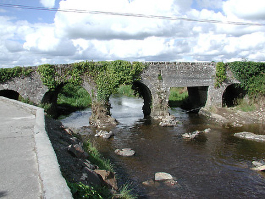 Ballyoughter Bridgebridge · 1101 yd
 IndicatedEnclosure · 1.1 mi
 St. Patricks StoneRitual site, holy/saint's stone · 1.1 mi
 Drumbane CastleCastle · 1.3 mi
 CastleCastle, ringwork · 1.5 mi
 Drum WoodWood · 2.7 mi
 Cormackstown Heritage CentreMuseum · 2.9 mi
 KnockaneMountain / peak · 3.0 mi
 Clonoulty HillMountain / peak · 3.2 mi
 Kilvilcorris BogForest · 7.4 mi
 Drumbane Church (Moyaliff)church/chapel · 1455 yd
Other information
Photo: Credit not shown in the picture search · Rights wording not checked; contact us if this picture should be removed