What is recorded here
Situated on a very slight rise in gently undulating countryside immediately to the S of Mayne church (LH022-002----) and consisting of a small flat-topped mound (max. diam. at base 29m, at summit 11m, H c. 4m). The base of the motte at the N side has been cut away by a modern trackway and the E side has been interfered with by the building of a structure and its subsequent removal. Part of the mound has also been removed at the W side so that the only side which has not been interfered with is the S. There is no evidence for a bailey or enclosing fosse.
The above description is derived from both the published 'Archaeological Inventory of County Louth' (Dublin: Stationery Office, 1986) and the 'Archaeological Survey of County Louth' (Dublin: Stationery Office, 1991). In certain instances the entries have been revised and updated in the light of recent research.
Date of upload: 17 July 2007
The monument record does not grant public access. Check the route and ask the landowner before entering private land.
- What survives
- Recorded monument
Places near here
 Church (in ruins)Church · 32 yd
 Enclosure in MayneEnclosure · 462 yd
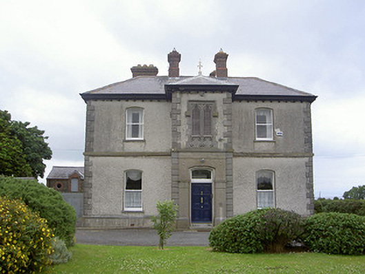 presbytery/parochial/curate's housepresbytery/parochial/curate's house · 791 yd
 Enclosure in DalesEnclosure · 981 yd
 Castle RuinsCastle, tower house · 1.4 mi
 Chapel (in Ruins), GraveyardChurch · 2.6 mi
 Termonfeckin CastleCastle · 2.8 mi
 Moneyveg WoodForest · 2.9 mi
 Graveyard in DysartGraveyard · 3.3 mi
 Sweet baySweet bay · 3.4 mi
 Tullydonnell HillMountain / peak · 4.2 mi
 MonasterboiceEarly monastic site · 6.4 mi