What is recorded here
Mayne castle stands as a small flat-topped mound beside Mayne church in County Louth, Ireland. Modern works cut away most of its base, leaving only the southern edge untouched. The mound still rises four metres above the gentle countryside, preserving a narrow strip of the original castle earth.
Situated on a very slight rise in gently undulating countryside immediately to the S of Mayne church (LH022-002----) and consisting of a small flat-topped mound (max. diam. at base 29m, at summit 11m, H c. 4m). The base of the motte at the N side has been cut away by a modern trackway and the E side has been interfered with by the building of a structure and its subsequent removal. Part of the mound has also been removed at the W side so that the only side which has not been interfered with is the S. There is no evidence for a bailey or enclosing fosse.
The above description is derived from both the published 'Archaeological Inventory of County Louth' (Dublin: Stationery Office, 1986) and the 'Archaeological Survey of County Louth' (Dublin: Stationery Office, 1991). In certain instances the entries have been revised and updated in the light of recent research.
Date of upload: 17 July 2007
The monument record does not grant public access. Check the route and ask the landowner before entering private land.
- What survives
- Recorded monument
Places near here
 Church (in ruins)Church · 32 yd
 Enclosure in MayneEnclosure · 462 yd
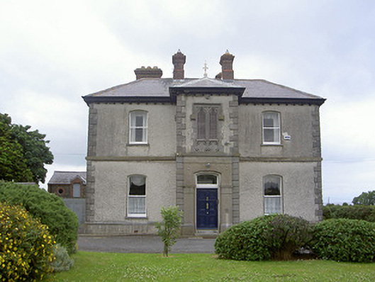 presbytery/parochial/curate's housepresbytery/parochial/curate's house · 791 yd
 Enclosure in DalesEnclosure · 981 yd
 Castle RuinsCastle, tower house · 1.4 mi
 Chapel (in Ruins), GraveyardChurch · 2.6 mi
 Termonfeckin CastleCastle · 2.8 mi
 Moneyveg WoodForest · 2.9 mi
 Graveyard in DysartGraveyard · 3.3 mi
 Sweet baySweet bay · 3.4 mi
 Tullydonnell HillMountain / peak · 4.2 mi
 MonasterboiceEarly monastic site · 6.4 mi