What is recorded here
Located on a slight rise in a gently undulating landscape. A small feature (diam. c. 20m) is depicted on the 1836 and 1908 editions of the OS 6-inch map and described as a ‘Moat’ on both. It was removed in 1967 and only a bare gravel and stone area (dims 43m N-S; 29m E-W) was visible in 1968 (SMR file), but it was described locally as an earthen mound (diam. c. 12m; H c. 1.5m).
The above description is derived from the published 'Archaeological Inventory of County Meath' (Dublin: Stationery Office, 1987). In certain instances the entries have been revised and updated in the light of recent research.
Compiled by: Michael Moore
Date of upload: 10 July 2007
Amended: 2 August 2022
The monument record does not grant public access. Check the route and ask the landowner before entering private land.
- What survives
- Recorded monument
Places near here
 MoatArchaeological place · 5 yd
 Enclosure in LeggaghEnclosure · 884 yd
 Fox CovertWood · 1084 yd
 Castletown TrailMemorial · 1415 yd
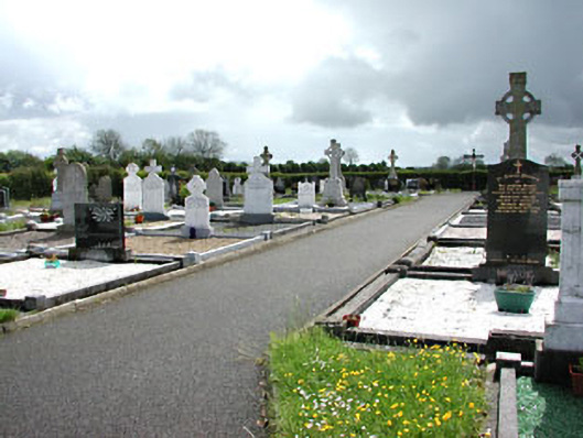 Castletown New Cemeterygraveyard/cemetery · 1704 yd
 Little Decoy WoodWood · 1.2 mi
 Castletown FortCastle, motte and bailey · 1.5 mi
 Drakerath CastleCastle, unclassified · 2.1 mi
 HeadstownMountain / peak · 2.5 mi
 Ugly HillMountain / peak · 3.3 mi
 Owenroe and Moynalty DrainageMemorial · 4.1 mi
 Nobber GreenwayMemorial · 4.2 mi