What is recorded here
Unlocated coal mine within townland. A map of the Coal district near Killenaule (NLI 16.I.17{1}) by Patrick Leahy May 11th 1824 shows a feature name as a 'Danish excavation; located c. 500m NW of enclosure (TS049-025----).
Compiled by: Jean Farrelly
Date of upload: 26 August 2011
The monument record does not grant public access. Check the route and ask the landowner before entering private land.
- What survives
- Recorded monument
Places near here
 Fulacht fia in BolintleaFulacht fia · 1177 yd
 Slieveardagh Househouse · 1260 yd
 IndicatedEnclosure · 1582 yd
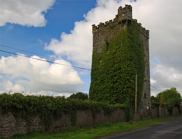 Site of Williamstown CastleCastle, unclassified · 1640 yd
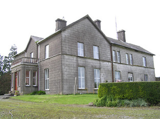 Coalbrook Housecountry house · 1.0 mi
 Warhouse HillMountain / peak · 1.4 mi
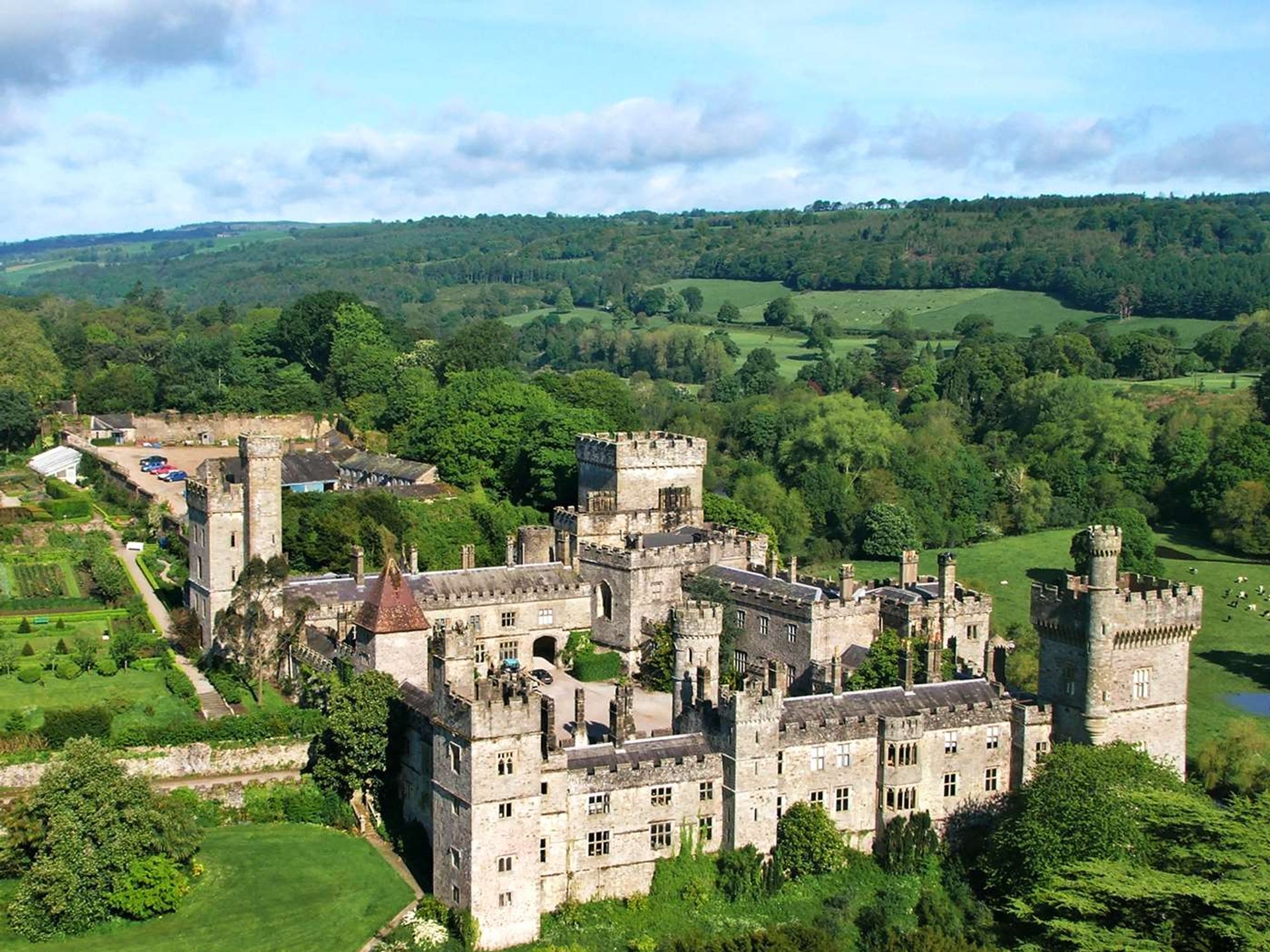 Site of Lisnamrock CastleCastle, unclassified · 1.5 mi
 Bregaun HillMountain / peak · 1.9 mi
 Top Field at Carey'sForest · 2.9 mi
 Second Field on the HillForest · 3.0 mi
 Kilcooly AbbeyHeritage attraction · 3.8 mi
 Slieveardagh Heritage CentreVisitor information · 5.9 mi