What is recorded here
This primitive mine, exploiting a sedimentary copper-bed, is located close to the head of the Staigue river valley c. 500m SSE of Staigue fort (KE090-013001-). The working consists of a wide, shallow opening, c. 8m wide and 1.6m high, driven 115 degrees into a S facing rock scarp for a depth of 1.4m. The rock-face exhibits minor malachite smear mineralisation and a smooth concave profile which may indicate fire-setting extraction. The footwall is exposed only outside the working. A shallow infill at the mine entrance may conceal a small spoil-dump. A ruined stone wall is located SE of the mine (O’Brien 1987, 285-90).
The above description is derived from A. O'Sullivan and J. Sheehan (compilers), 'The Iveragh peninsula: an archaeological survey of South Kerry'. Cork University Press (1996), no. 261. In certain instances the entries have been revised and updated in the light of recent research.
Date of upload: 28 July 2013
The monument record does not grant public access. Check the route and ask the landowner before entering private land.
- What survives
- Recorded monument
Places near here
 Enclosure in StaigueEnclosure · 402 yd
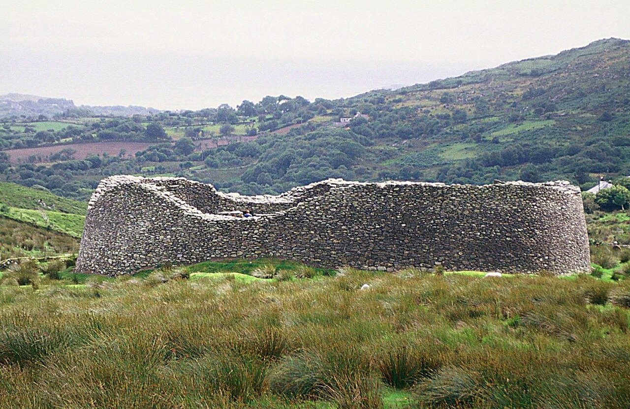 Staigue FortFairy fort / stone ringfort · 438 yd
 2Cliff · 1728 yd
 Cnoc na Stéige (mullach thoir thuaidh)Mountain / peak · 1.0 mi
 Cnoc na StéigeMountain / peak · 1.1 mi
 Cowlagh (in Ruins)Church · 1.5 mi
 IllaundraneIslet · 1.8 mi
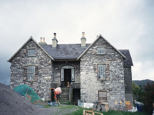 Scart Househouse · 1.8 mi
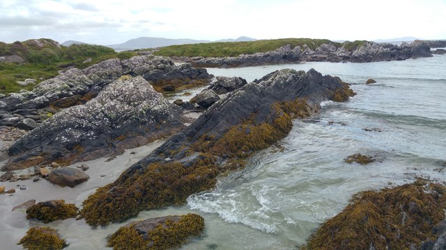 White StrandBeach / strand · 2.0 mi
 Castle Cove (in Ruins)Castle, tower house · 2.1 mi
 Coral BeachBeach / strand · 3.2 mi
 An PlaoscHeadland · 3.8 mi