What is recorded here
On W-facing slope above pasture, 1.7km W of Goleen village. Isolated mine working; discovered 1929 by geologist T.J. Duffy; local tradition of "Danes Shaft". Inclined working driven 060° into upper part of prominent rock scarp; waterlogged infill deposit, not excavated. Probed length 3m plus; entrance (Wth 2m; H 0.5m). Outside entrance, denuded spoil dump spread over 6-8m; stone mauls exposed. (O'Brien 1987)
A charcoal sample recovered from a depth of 0.4m within the mine sediment has been radiocarbon dated to 3360±90 BP (GrN-25562). A second charcoal sample from a different spoil layer is dated to 3410±50 BP (GrN-25563). (O'Brien 2002, 40-41).
The above description is derived from the published 'Archaeological Inventory of County Cork. Volume 1: West Cork' (Dublin: Stationery Office, 1992). In certain instances the entries have been revised and updated in the light of recent research.
Date of upload/revision: 14 January 2009
The monument record does not grant public access. Check the route and ask the landowner before entering private land.
- What survives
- Recorded monument
Places near here
 LisheenacorhaBarrow, ring-barrow · 747 yd
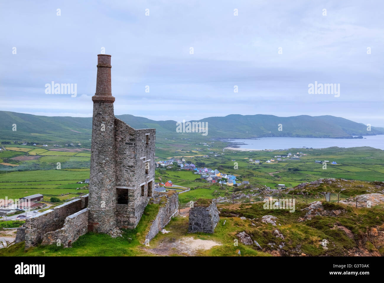 MineMine, copper · 956 yd
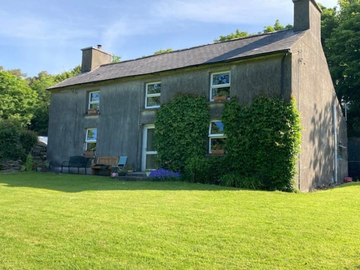 Hut site in CloghanaculleenHut site · 1322 yd
 Church in Kilbarry (carbery West (w.d) By.)Church · 1.0 mi
 KnocknamaddreeMountain / peak · 1.2 mi
 KnockboyMountain / peak · 1.4 mi
 Creamery PlatformMemorial · 1.6 mi
 Castle (Site of)Castle, unclassified · 2.0 mi
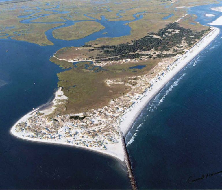 Bird IslandIslet · 2.1 mi
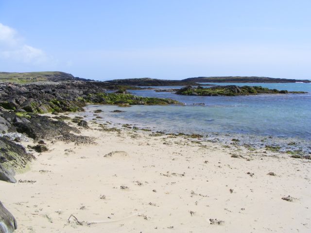 Galley Cove BeachBeach / strand · 2.2 mi
 Chimney CoveBeach / strand · 2.3 mi
 Barley CoveHeritage attraction · 2.4 mi