What is recorded here
According to the Civil Survey (1654-6) Edward Masterson and a FitzRobert owned land amounting to 600 acres in Upper Ferns, Crory, and the unkown Monedurloge (Moneydurtlow), Aghnemoe (Askinamoe?), Bolinerdroome and Kavanasland (Castleland?) in Ferns parish (Simington 1953, 266). The property contained a Castle (WX015-003001-), a church and abbey (WX015-003004-), a mill in repair, a ruined mill, two bridges on the River Bann, and two weirs. Milltown bridge is a four-arch bridge with arches of equal width, dressed voussoirs, and cut-water piers on the upstream side. It was extant in 1839 (OS map) and is probably 18th century in date. See this web-page accessed on 9 May, 2014 http://www.buildingsofireland.ie/
Compiled by: Michael Moore
Date of upload: 2 May, 2012
Amended: 9 May, 2014
The monument record does not grant public access. Check the route and ask the landowner before entering private land.
- What survives
- Recorded monument
Places near here
 Milltown Bridgebridge · 1 yd
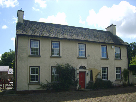 Milltown Housefarm house · 97 yd
 Enclosure in Ferns LowerEnclosure · 701 yd
 EnclosureEnclosure, large enclosure · 832 yd
 Ferns Castle (in ruins)Castle, Anglo-Norman masonry castle · 1630 yd
 Coolroe WoodForest · 1.2 mi
 Kilbora WoodForest · 1.4 mi
 CastleCastle, unclassified · 1.7 mi
 Giants BedNamed rock · 3.3 mi
 Milshoge RockMountain / peak · 3.3 mi
 Carrigroe HillMountain / peak · 3.8 mi
 Father Murphy CentreHeritage attraction · 3.9 mi