
What is recorded here
Archaeological test-trenching by Margaret Gowen under licence No. 92E0195 on a site bounded by Halston Street and Little Green Street revealed a portion of a masonry mill-race and a large deep ditch running through the site. The remains may be associated with the River Bradogue which was diverted in this area by the Cistercian monks of St Mary's abbey (DU018-343----). Much of the W portion of the proposed development site is crossed by the supposed line of the medieval Broad Street and market place, as shown on Clarke's map of medieval Dublin (Clarke 1978). By the time of Roque's map of 1756 and 1757 the present street pattern had been established and the market place had moved northwards onto a large open area on and to the north of the site what is now St. Michan's Park. Glasshouse (DU018-020150-) annotated GH on Rocque's Map of Dublin located directly across the street on the corner of Halston Street and St Mary's Lane.
See attached site plan courtesy of Margaret Gowen, Clarke's map of Dublin and Rocque's Map of Dublin 1757
Compiled by: Caimin O'Brien
Date of upload: 10 November 2022
The monument record does not grant public access. Check the route and ask the landowner before entering private land.
- What survives
- Recorded monument
Places near here
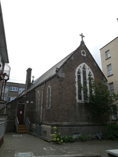 Focus Irelandchurch/chapel, community centre · 38 yd
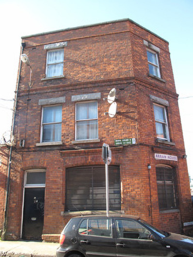 Arran Househouse · 64 yd
 National Leprechaun MuseumHeritage attraction · 219 yd
 Burial in Unknown TownlandBurial · 235 yd
 Habitation site in Unknown TownlandHabitation site · 284 yd
 Old Jameson DistilleryMuseum · 430 yd
 London PlaneLondon Plane · 460 yd
 Burial ground in Unknown TownlandBurial ground · 1053 yd
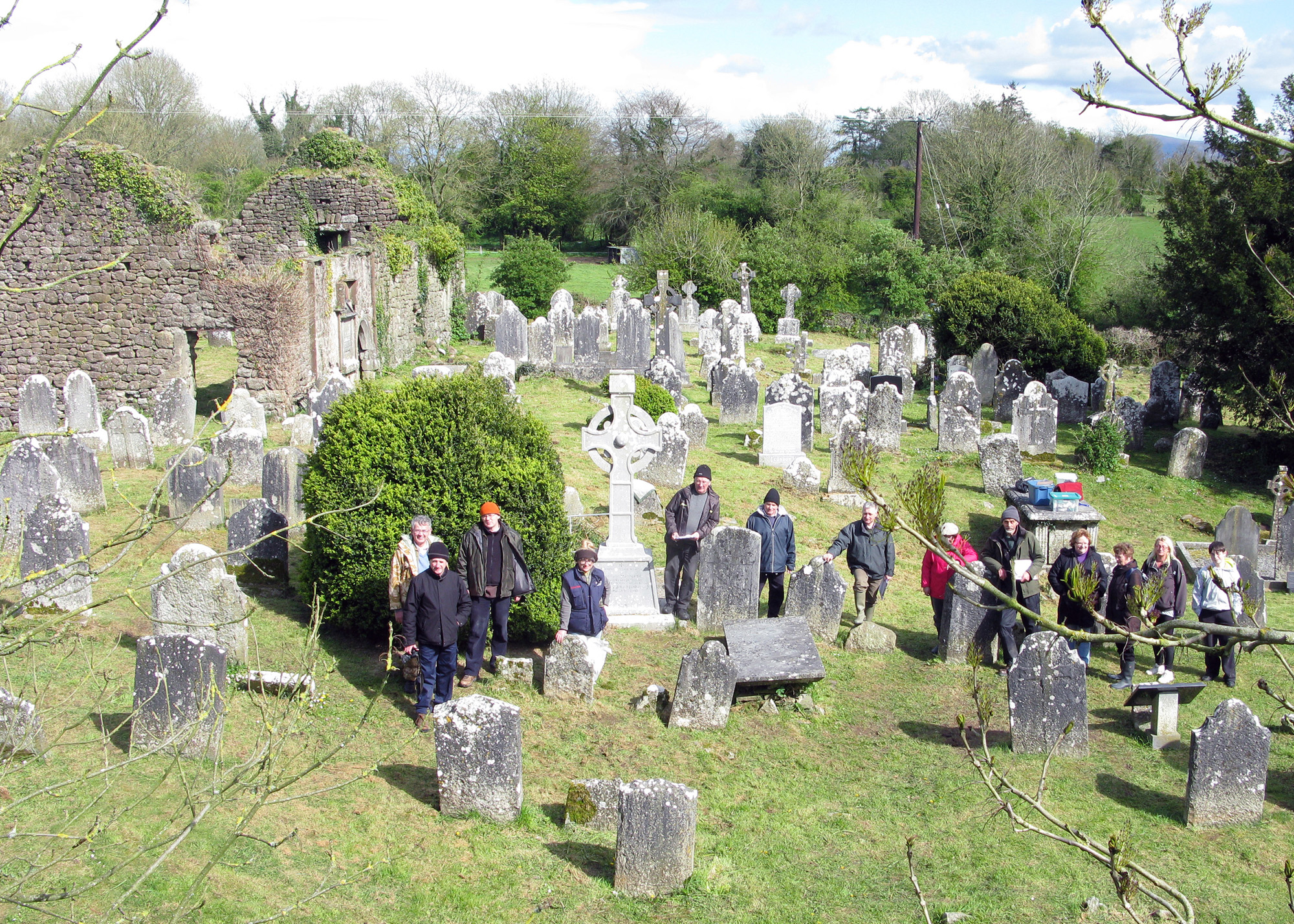 Graveyard in Unknown TownlandGraveyard · 1060 yd
 Croppies Acre MemorialMemorial · 1076 yd
 European PearEuropean Pear · 1081 yd
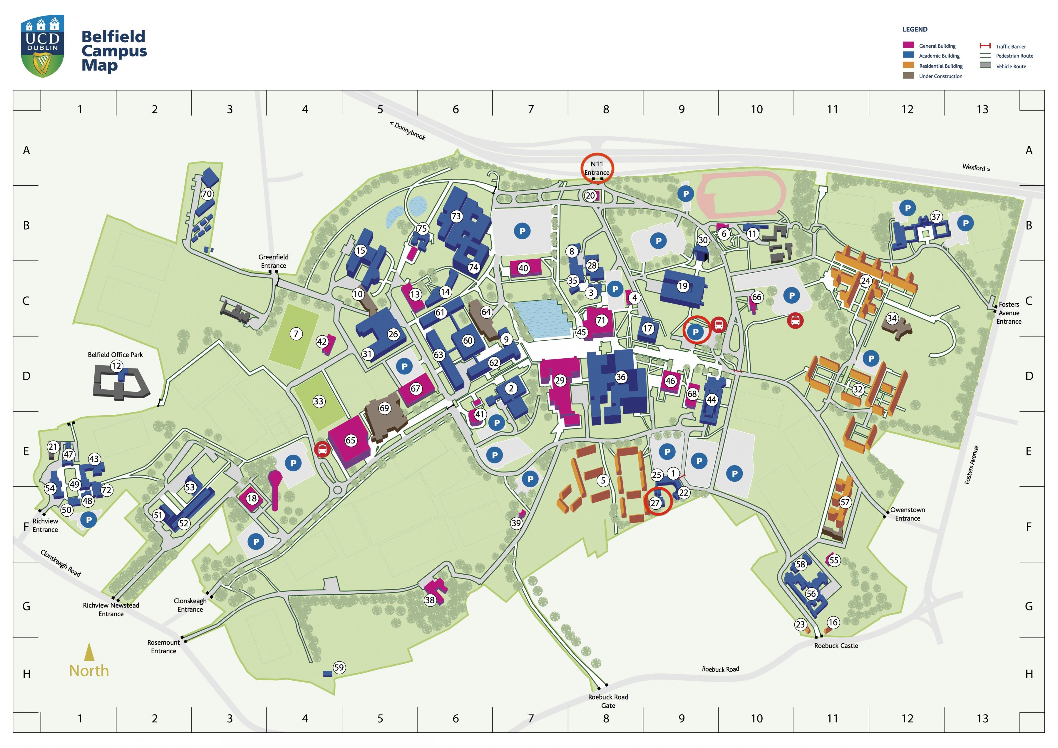 Campus Information PointVisitor information · 1085 yd
Other information
Photo: Credit not shown in the picture search · Rights wording not checked; contact us if this picture should be removed