What is recorded here
Indicated on Taylor and Skinner's map (1777). Not on any editions of the OS maps.
Compiled by: Claire Breen
Date of upload: 25 May 2012
The monument record does not grant public access. Check the route and ask the landowner before entering private land.
- What survives
- Recorded monument
Places near here
 Enclosure in EdmondstownEnclosure · 821 yd
 The MountCastle, motte and bailey · 1252 yd
 Martins FortArchaeological place · 1513 yd
 CastleCastle, unclassified · 1561 yd
 Lagan Bridgebridge · 1.1 mi
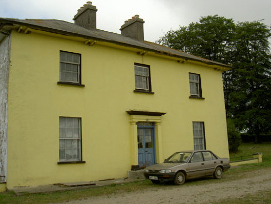 Tullakeel Househouse · 1.1 mi
 Flat cemetery in AnnaheanFlat cemetery · 1.3 mi
 Matthew's HillMountain / peak · 2.0 mi
 Yellow HillMountain / peak · 3.5 mi
 Long PlantationForest · 4.3 mi
 English hollyEnglish holly · 5.0 mi
 Sir Frederick Foster MemorialMemorial · 5.3 mi