
What is recorded here
A flat-topped hillock of rock outcrop surrounded by a wide drystone wall was said to be the site of a castle, of which there is no visible trace in 1966. Nearby farm buildings contain pieces of late medieval dressed stone (LH013-006004-), one bearing the date 1574 (LH013-006005-), and including the spandrel from a two-light ogee-headed window. Another stone has the coat of arms of the de Verduns and Plunkets (LH013-006006-). The stones are probably from a tower house, although no castle is depicted on the Down Survey (1656-8) barony map of Ardee in Clinton Rath townland (87), for which see this web-page accessed on 5 May, 2016 http://downsurvey.tcd.ie/down-survey-maps.php#bm=Atherdee&c=Louth.
The above description is derived from both the published 'Archaeological Inventory of County Louth' (Dublin: Stationery Office, 1986) and the 'Archaeological Survey of County Louth' (Dublin: Stationery Office, 1991). In certain instances the entries have been revised and updated in the light of recent research.
Date of revision: 5 May 2016
This remains an important historical record, but the official description says the monument is no longer visible or has been destroyed. The monument record does not grant public access. Check the route and ask the landowner before entering private land.
- What survives
- No visible remains or recorded as destroyed
Places near here
 Holy well in EdmondstownHoly well · 55 yd
 Martins FortArchaeological place · 326 yd
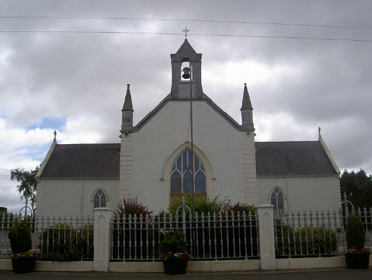 Saint Malachy's Catholic Churchchurch/chapel · 1087 yd
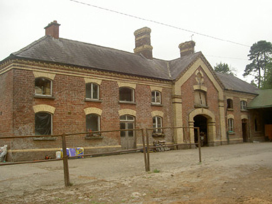 Cardistown Housefarmyard complex · 1.0 mi
 The MountCastle, motte and bailey · 1.6 mi
 Flat cemetery in AnnaheanFlat cemetery · 1.6 mi
 Lagan castleCastle, tower house · 1.8 mi
 TuliptreeTuliptree · 2.3 mi
 European YewEuropean Yew · 2.3 mi
 Matthew's HillMountain / peak · 2.4 mi
 Yellow HillMountain / peak · 3.5 mi
 Sir Frederick Foster MemorialMemorial · 4.8 mi
Other information
Photo: Credit not shown in the picture search · Rights wording not checked; contact us if this picture should be removed