
What is recorded here
A mill is depicted overlooking the fort of Passage in the 1590 map of the Waterford estuary by Francis Jobson (Walton 1979, 25), and two mills that were owned by Sir Peter Ayleward at Passage are recorded in the Civil Survey of 1655 (Simington 1942, 162). Both mills remain unlocated. (See WA018-009008- for record of second mill)
Simington, R. C. (ed.) (1942) The Civil Survey AD 1654-1656, vi, the County of Waterford. Irish Manuscripts Commission. Dublin.
Walton, J. (1979a) Aspects of Passage East. Part 1. Decies, No. 10, 23-8.
Compiled by: Michael Moore
Date of upload: 08 February 2011
The monument record does not grant public access. Check the route and ask the landowner before entering private land.
- What survives
- Recorded monument
Places near here
 Fulacht fia in BallinkinaFulacht fia · 611 yd
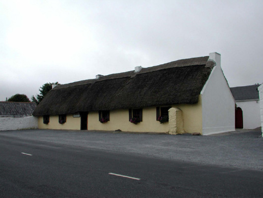 M. Kennedyhouse · 744 yd
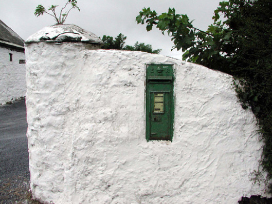 Historic buildingOfficially recorded historic building · 765 yd
 IndicatedFairy fort / ringfort · 792 yd
 Castle (in ruins)Castle, tower house · 1.7 mi
 The Black Woman's RoadWalking route · 2.2 mi
 Ballinakill WoodsWood · 2.4 mi
 The Baldy ManViewpoint · 5.1 mi
 Memory of the crew of "Rescue 111"Memorial · 5.4 mi
 Tramore Dunes WalkWalking route · 5.8 mi
 Tramore StrandBeach / strand · 5.8 mi
 Sugar Loaf RockMountain / peak · 6.1 mi
Other information
Photo: Credit not shown in the picture search · Rights wording not checked; contact us if this picture should be removed