What is recorded here
Situated in a flat river valley in marshy terrain which has been reclaimed. The remains of a mill were found during drainage work, when the Poulaneigh River was being deepened in June 1967. It seems likely that the new channel created to divert the river into was already on the line of a long disused millrace, in whole or in part. Eleven large timbers, a millstone and saddle quern were extracted from the river-bed during the drainage works. Four of the timbers are described in some detail in the NMI report (NMI Topographical Files 1976:33). At the time of inspection the timbers were lying exposed beneath scrap metal on the verge of a laneway NW of Newbrook House, they have been there since the 1960s. The millstone is composed of coarse conglomerate stone (Wth 0.78m at base; 0.67m at top; T 0.32m) with a central perforation (Wth 15.5m; D 0.12m). There is no evidence of rynd slots on the grinding surface. It is currently situated in the yard W of Newbrook House.
The above description is derived from 'The Archaeological Inventory of County Tipperary. Vol. 1 - North Tipperary' compiled by Jean Farrelly and Caimin O'Brien (Dublin: Stationery Office, 2002). In certain instances the entries have been revised and updated in the light of recent research.
Date of upload/revision: 22 September 2008
The monument record does not grant public access. Check the route and ask the landowner before entering private land.
- What survives
- Recorded monument
Places near here
 ToberavockyHoly well · 582 yd
 Archerstown Mills (Corn)Water mill, unclassified · 773 yd
 Byrnes's WoodsForest · 1002 yd
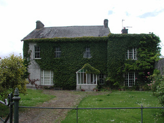 Archerstown Housecountry house · 1149 yd
 Bawn in ArcherstownBawn · 1167 yd
 Ladys WellHoly well · 1301 yd
 Wildlife CorridorWood · 1611 yd
 CastleCastle, tower house · 1.5 mi
 St. Mary's Famine and War MuseumMuseum · 1.8 mi
 Lár na PáirceMuseum · 1.8 mi
 Horse and JockeyVisitor information · 3.4 mi
 Killough Hill (site of)Mountain / peak · 3.8 mi