What is recorded here
A mill is indicated on the Down Survey (1655-6) barony map on the E bank of the Ballysadare River and downstream from the bridge (SL020-268----). There are now no visible remains of this mill. A series of six mills are indicated on the 1838 OS 6-inch map on this stretch of the Ballysadare River showing the suitability of the river for milling into the 19th century. The most northerly mill on the E side of the river, a large disused 19th-century mill complex, may be on or near the site of the 17th-century mill.
The above description is derived from the published 'Archaeological Inventory of County Sligo' compiled by Ursula Egan, Elizabeth Byrne, Mary Sleeman with Sheila Ronan and Connie Murphy (Dublin Stationery Office, 2005).
Date of upload: 18 January 2008
The monument record does not grant public access. Check the route and ask the landowner before entering private land.
- What survives
- Recorded monument
Places near here
 Holy Trinity Church (Ballysadare)church/chapel · 243 yd
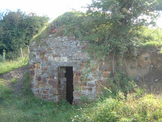 icehouseicehouse · 264 yd
 Ecclesiastical enclosure in KilboglashyEcclesiastical enclosure · 450 yd
 CastleCastle, unclassified · 701 yd
 Enclosure in BelladrihidEnclosure · 821 yd
 Union RockMountain / peak · 1.1 mi
 SlievewardMountain / peak · 1.6 mi
 Battle of Collooneybattle · 1.7 mi
 Teeling MonumentMemorial · 1.7 mi
 CarrigeenfaddaIslet · 2.2 mi
 RinnatalleenHeadland · 2.8 mi
 Tobernalt Holy WellSpring · 3.3 mi