What is recorded here
In poor boggy land, c. 150m ESE of a moated site (KK005-069----). A stream runs NE-SW for c. 90m, and then bends sharply to the SE, at the E end, for 35m, deepening to 3m where it joins a small stream which runs NE-SW. At the confluence there is a possible mill site.
Compiled by: Jean Farrelly
Date of upload: 10 April 2018
The monument record does not grant public access. Check the route and ask the landowner before entering private land.
- What survives
- Recorded monument
Places near here
 CastleCastle, unclassified · 190 yd
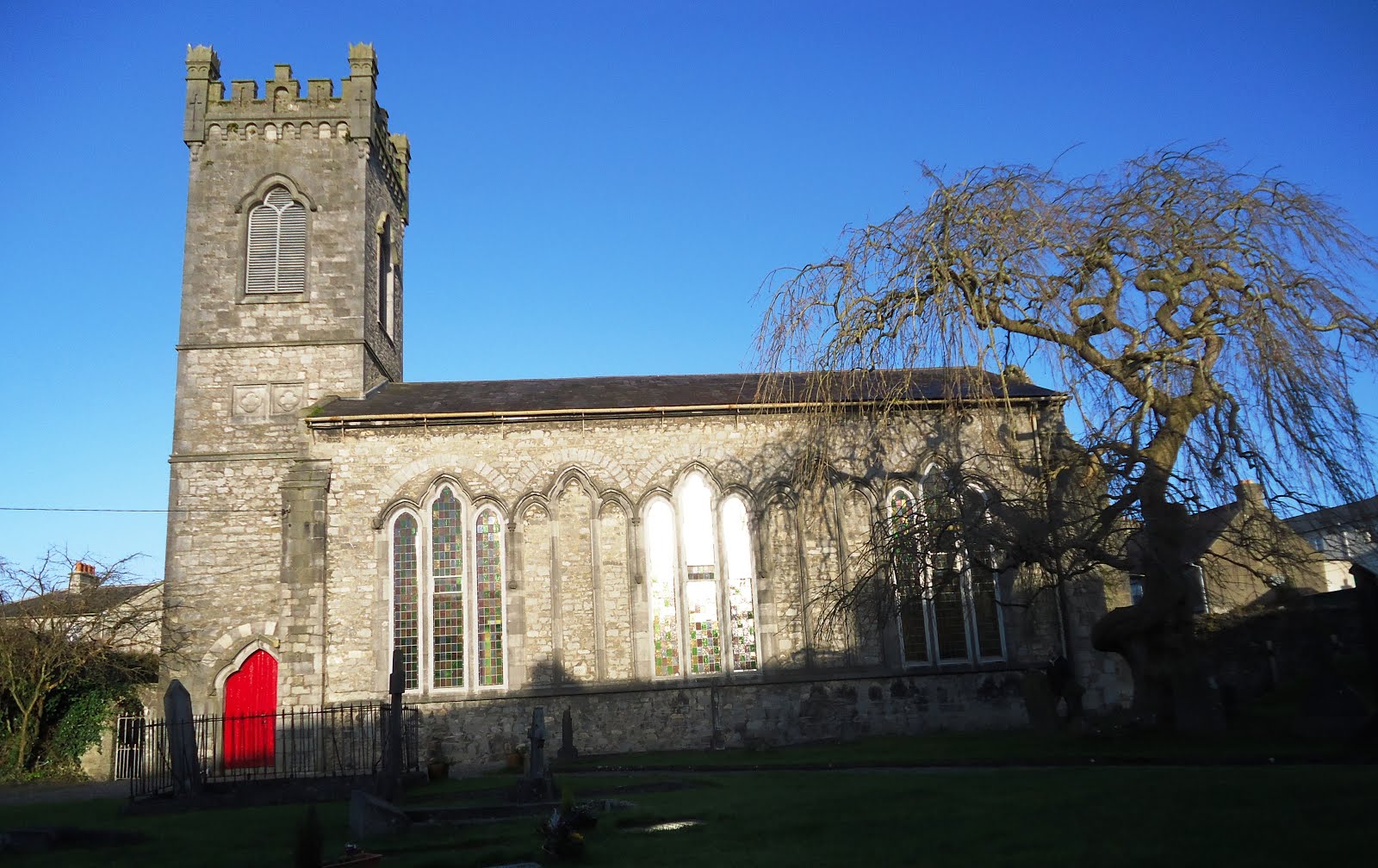 Church in Kiltown (fassadinin By.)Church · 984 yd
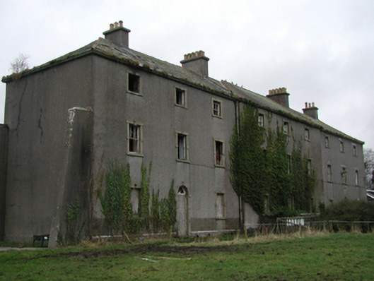 Castlecomer Barrackbarracks · 1.0 mi
 Creamery HouseMemorial · 1.2 mi
 IndicatedCastle, ringwork · 1.2 mi
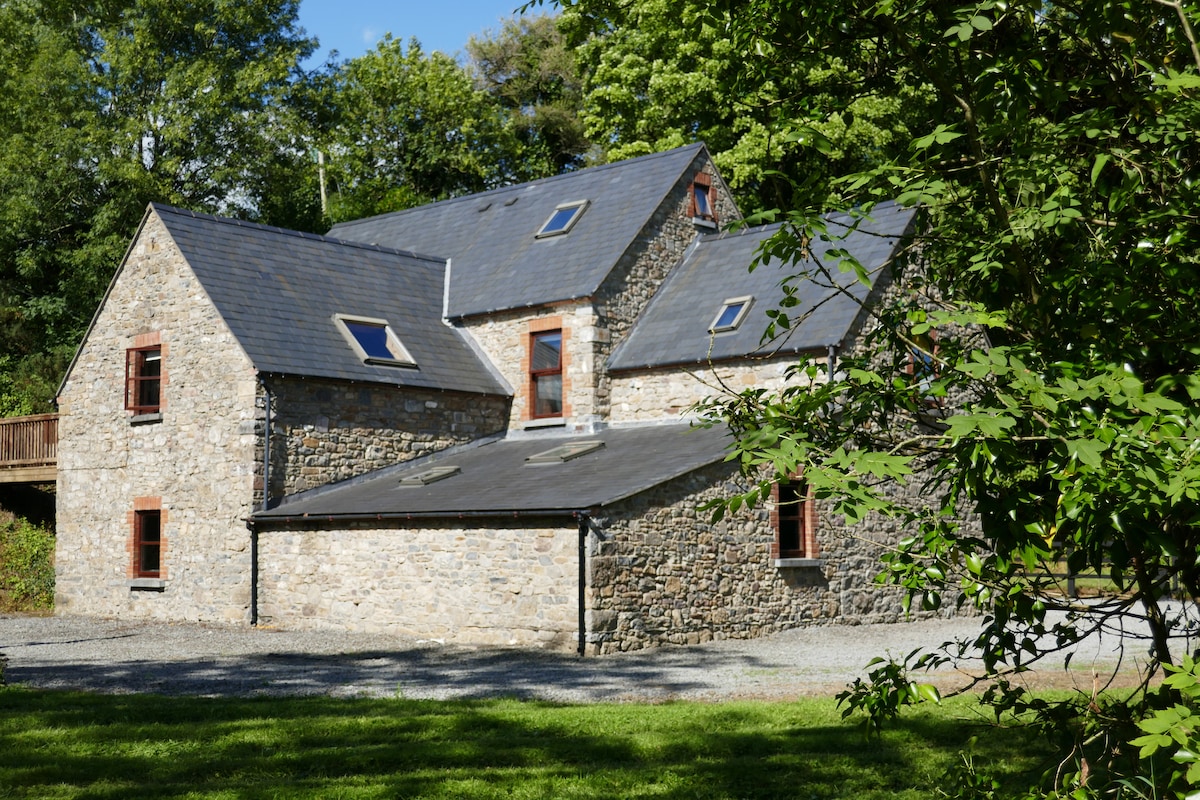 Enclosure in ByrnesgroveEnclosure · 1.3 mi
 1798Memorial · 1.4 mi
 Ardra LoopWalking route · 1.4 mi
 Castlecomer Discovery ParkHeritage attraction · 1.5 mi
 Enclosure in ClashduffEnclosure · 1.5 mi
 Footprints In CoalMuseum · 1.5 mi
 European BeechEuropean Beech · 1.6 mi