
What is recorded here
A little below the crest of the ridge of hills between the Deen and Gloshia river valleys, in rolling pasture. An oval area (int. dims. 17m N-S; 17m E-W) defined by low, wide earthen bank (Wth at base 5m; int. H 1-1.4m; ext. H 2m) which has been truncated on exterior faces to give an externally circular plan. There is an entrance in the SE sector and a modern entrance in the SW.
Compiled by: Jean Farrelly
Date of upload: 13 November 2018
The monument record does not grant public access. Check the route and ask the landowner before entering private land.
- What survives
- Recorded monument
Places near here
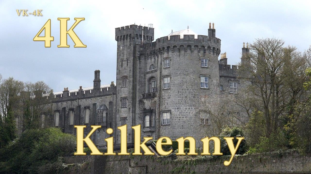 IndicatedEnclosure · 940 yd
 Enclosure in Ballyhimmin (knocktopher By.)Enclosure · 1720 yd
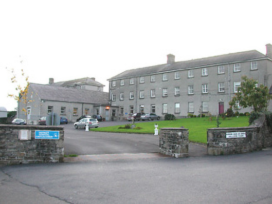 Castlecomer District Hospitalworkhouse · 1.2 mi
 Dysart Bridgebridge · 1.2 mi
 European BeechEuropean Beech · 1.4 mi
 Rockafoil WoodWood · 1.4 mi
 CastleCastle, unclassified · 1.5 mi
 Creamery HouseMemorial · 1.6 mi
 1798Memorial · 1.8 mi
 The GarrisonCastle, motte · 1.9 mi
 Castlecomer Discovery ParkHeritage attraction · 1.9 mi
 Footprints In CoalMuseum · 2.0 mi
Other information
Photo: Credit not shown in the picture search · Rights wording not checked; contact us if this picture should be removed