What is recorded here
Towards the bottom of a NE-facing slope with a NNW-SSE stream c. 20-100m to the NE. A millrace, visible as a grass-covered channel (Wth of top 4m; Wth of base 2m; D 0.5-0.7m) with grass-covered earthen banks (Wth 1.5-2m; H 0.2-0.3m) on either side runs NNW-SSE past the SW angle of enclosure (RO035-119001-), extending 90m to the S, and c. 140m to the N.
Compiled by: Michael Moore
Date of upload: 24 August 2010
The monument record does not grant public access. Check the route and ask the landowner before entering private land.
- What survives
- Recorded monument
Places near here
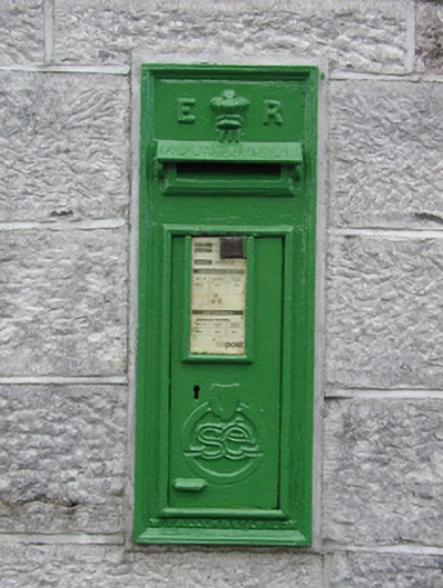 post boxpost box · 1.1 mi
 Embanked enclosureEnclosure · 1.1 mi
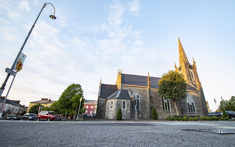 IndicatedFairy fort / earthen ringfort · 1.2 mi
 RoadRoad, road/trackway · 1.5 mi
 HawthornHawthorn · 2.8 mi
 European ashEuropean ash · 3.6 mi
 Roscommon CastleCastle · 3.9 mi
 CastleCastle, unclassified · 4.6 mi
 Leitrim CastleCastle, unclassified · 5.5 mi
 Sally IslandIslet · 7.0 mi
 Site of Killomaine Grave YardArchaeological place · 7.2 mi
 Mount MaryMountain / peak · 8.3 mi