What is recorded here
On the E bank of the N-S River Suck, at a point where it turns W. Two mills at Athleague are recorded in the 1640s (Simington 1949, 103). There is a 19th century mill to the W of the Fortified house (RO041-048005-) but this is not relying on the millrace (RO041-048013-).
Compiled by: Michael Moore
Date of upload: 24 August 2010
The monument record does not grant public access. Check the route and ask the landowner before entering private land.
- What survives
- Recorded monument
Places near here
 MillMill, unclassified · 1 yd
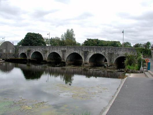 Athleague BridgeOfficially recorded historic building · 60 yd
 CastleHouse, fortified house · 117 yd
 IndicatedFairy fort / earthen ringfort · 1138 yd
 Enclosure in ToberavaddyEnclosure · 1.1 mi
 European Crab AppleEuropean Crab Apple · 1.1 mi
 Sally IslandIslet · 2.6 mi
 Castle KellyCastle, tower house · 3.3 mi
 European YewEuropean Yew · 3.5 mi
 Mount MaryMountain / peak · 5.3 mi
 Roscommon CastleCastle · 5.4 mi
 Inch IslandIsland · 7.7 mi