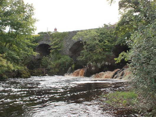
What is recorded here
Triple-arch bridge carrying road over the Mill River, built c. 1730. Possibly containing earlier fabric. Round-headed arches having roughly squared rubble stone voussoirs; rubble stone construction to arch barrels. Rubble stone construction to piers, abutments, spandrels and parapets; rubble stone coping to parapets.…
Read the whole record
From the Buildings of Ireland (National Inventory of Architectural Heritage) record 40815033
Places near here
Photo credits
- National Inventory of Architectural Heritage
- Maker not stated on source page, jp.pinterest.com
- Buncrana GAA (publisher); image bears a small maker watermark that needs confirmation before reuse, buncranagaa.com
- Maker not stated on source page, ru.pinterest.com
- Maker not stated on source page, www.pinterest.com
- David Dixon, Geograph · CC BY-SA 2.0
- Maker not stated on source page, lake-of-shadows-hotel.megotel.ru
- Golfing in Ireland; photographer not stated, Source publisher
- Maker not stated on source page, donegal.ie
 mill (water)76 yd
Explorer Tom This old mill in Ardaravan was nearly sold to a farmer in exchange for a very large horse once upon a time. It survived…
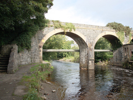 bridge101 yd
Explorer Tom Bridge in Ardaravan has an imaginary twin across the sea who is jealous of its elegant arches and slender piers, which…
 Ardaravan Buried Stone CistCist · 140 yd
Explorer Tom Ardaravan Buried Stone Cist is a tiny, square secret that a quarry almost swallowed whole in 1978. Inside sat the…
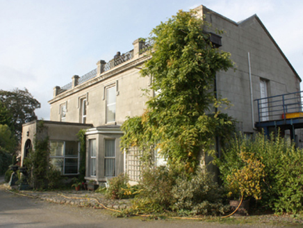 Millfield HouseHouse · 245 yd
Explorer Tom Millfield House thinks that bumpy little road leading up to it is a personal insult from the universe. It stands there…
 The Scarvey, BuncranaGAA ground · 322 yd
 post box369 yd
Explorer Tom Post box in Ardaravan is wearing a tiny dentilled collar like a very serious Victorian gentleman. I picture the postman…
 Standing stone in ArdaravanStanding stone · 564 yd
Explorer Tom Standing stone in Ardaravan is a hefty 1.55m tall and looks like it’s been guarding that field boundary for a very long…
 Mapped graveyardGraveyard · 607 yd
Explorer Tom This graveyard in County Donegal would write on its dating profile that it’s 'deep, mysterious, and looking for a…
 Inishowen Gateway HotelHotel · 648 yd
Explorer Tom Inishowen Gateway Hotel sits in Buncrana, right by the river, acting as a gateway to nowhere specific. It’s a place…
 Lake of Shadows HotelHotel · 675 yd
Explorer Tom Lake of Shadows Hotel sounds like it’s haunted by every bad decision ever made in County Donegal. It would definitely…
 Buncrana Golf ClubGolf course · 788 yd
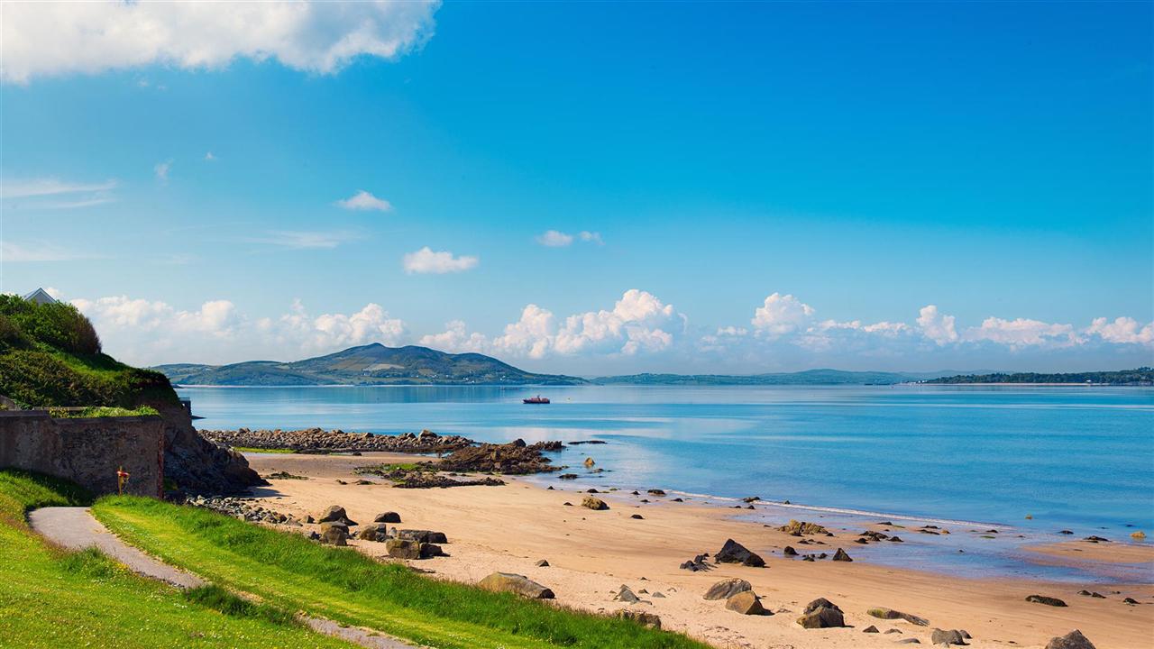 Lady's Bay, BuncranaOfficial bathing water · 872 yd
Explorer Tom Lady's Bay in Buncrana is a small, sheltered bit of shore with a very large supporting cast: two rivers, Lough Swilly…
More historic places in County Donegal · All of County Donegal

What do you know about this place?Tap to add a comment or ask a question