
What is recorded here
Medieval mill that is depicted on the Down Survey (1655-6) parish map of Monasteroris and Ballynakill (Fitzpatrick and O'Brien 1998, 108) may have been located in the vicinity of Mill Mount House. A disused mill-race runs past Mill Mount House and acts as a defensive moat in front of the gatehouse into Monasteroris castle (OF011-011----). The 1550 survey of Offaly recorded that there were two castles at Monasteroris, 'one newlie builded and thother all runyose', in addition to the ruined walls of the friary 'burnyd and rasid' and a mill and orchard (Curtis 1929, 326, Fitzpatrick and O'Brien 1998, 108-9). In 1574 a second land grant to Nicholas Harberte included the old town of Monasteroris with its dissolved friary, two castles and 20 cottages which was then renamed Harbartiston ( Fiants, vol. 2, no. 485; Fitzpatrick and O'Brien 1988, 109).
Compiled by: Caimin O'Brien.
Date of upload: 23 May 2011
The monument record does not grant public access. Check the route and ask the landowner before entering private land.
- What survives
- Recorded monument
Places near here
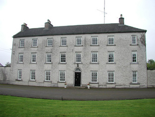 Monasteroriscountry house · 188 yd
 Site of MonasteryCastle, unclassified · 552 yd
 Monastery in ruinsCastle, unclassified · 668 yd
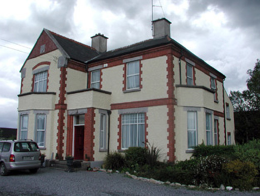 The Old Rectoryrectory/glebe/vicarage/curate's house · 732 yd
 Font in MonasterorisFont · 790 yd
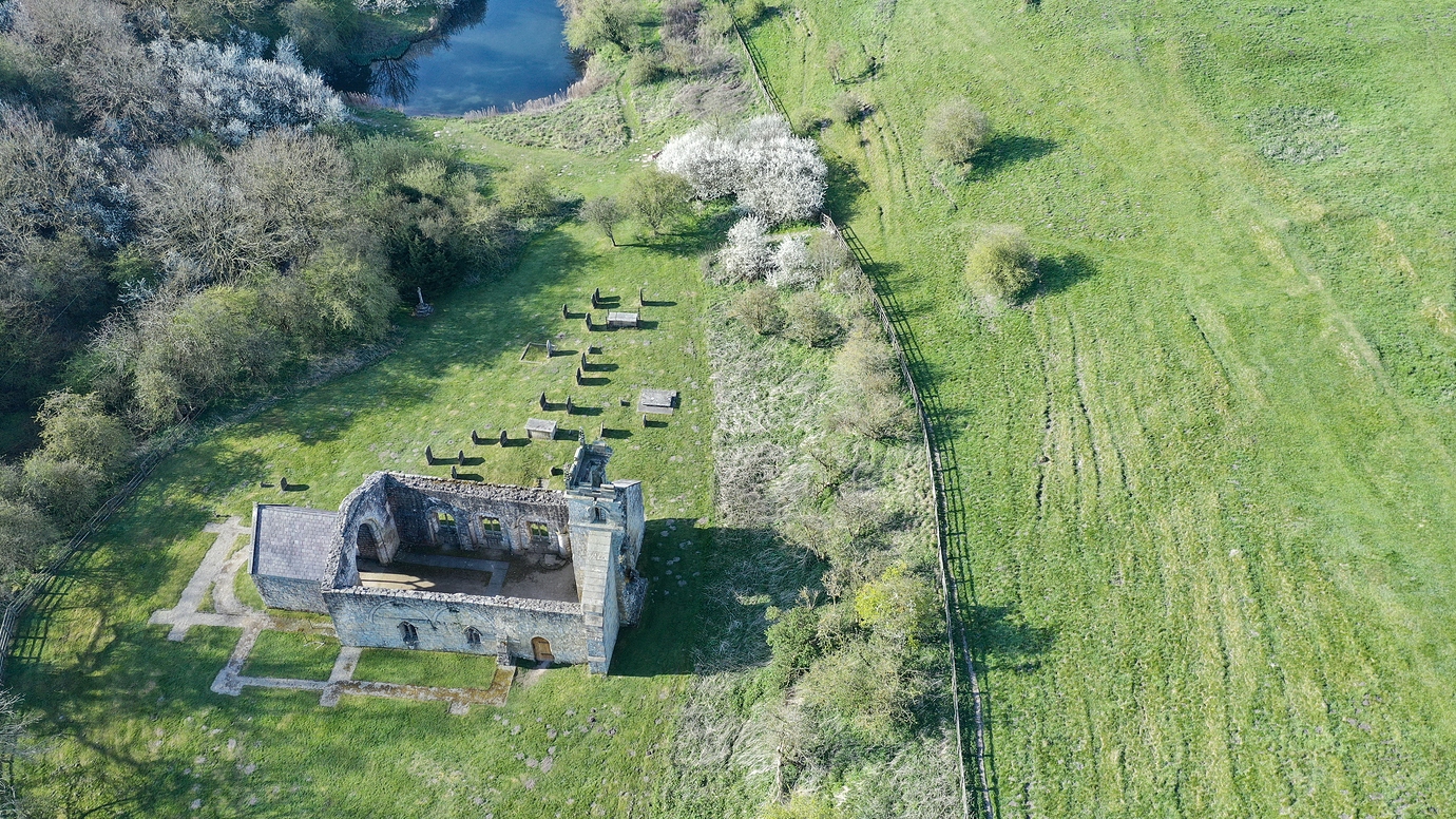 Settlement desertedSettlement deserted, medieval · 914 yd
 Bow WoodWood · 3.0 mi
 Roundhill WoodForest · 3.0 mi
 Sli na Slainte - mapVisitor information · 6.1 mi
 The Fairy BowerHeritage attraction · 7.3 mi
 Lullymore Heritage ParkHeritage attraction · 7.3 mi
 Allen family memorial headstoneMemorial · 7.4 mi
Other information
Photo: Credit not shown in the picture search · Rights wording not checked; contact us if this picture should be removed