What is recorded here
Standing on the N bank of the Camoge River 650m NW of Monasteranenagh Cistercian Abbey (LI031-050004-). Two eel-weirs (LI031-125001/002-) are located 70m to SW and 45m to S respectively. Depicted as a rectangular structure on the 1840 ed. OSi 6-inch map where it is annotated ‘Mill (in Ruins)’. Annotated ‘Creamery’ on…
Read the whole record
From the National Monuments Service (Archaeological Survey of Ireland) record LI031-125003
Places near here
Photo credits
- National Inventory of Architectural Heritage
- Maker not stated on source page, www.flickr.com
- JohnArmagh, Wikimedia Commons · Public domain
- Maker not stated on source page, evoke.ie
- Maker not stated on source page, ru.pinterest.com
- Willow, Wikimedia Commons · CC BY 2.5
- Maker not stated on source page, www.alamy.com
- Maker not stated on source page, www.dreamstime.com
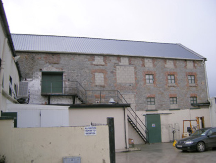 mill (water)8 yd
Explorer Tom Mill in Ballymacsradeen East is mixing limestone and corrugated iron like a weird fashion statement. It’s got that…
 Ric barracks113 yd
Explorer Tom The RIC barracks in Ballymacsradeen East plans to retire by becoming a very serious art gallery. It spent decades…
 River ViewHouse · 210 yd
Explorer Tom River View in Monaster North is where Vikings got lost looking for the river instead of the view. The sliding sash…
 Monaster BridgeBridge · 468 yd
Explorer Tom Monaster Bridge would tell its younger self to stop trying so hard with those cutwaters, mate. It’s a well-proportioned…
 Monasteranenagh Abbey (in ruins)Religious house, Cistercian monks · 702 yd
Explorer Tom Monasteranenagh Abbey would cope badly on a reality show because it refuses to compromise its dour personality.…
 Monasteranenagh AbbeyHeritage attraction · 736 yd
Explorer Tom Monasteranenagh Abbey rises from a Limerick field, where its ruined church and chapter house still make a large claim…
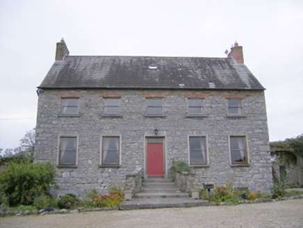 Tory Hill HouseCountry house · 1.4 mi
Explorer Tom Tory Hill House hears everything through its thin walls. It can hear the medieval church gossiping about the coach…
 Fairy fort / earthen ringfort in CloraneFairy fort / earthen ringfort · 1.5 mi
Explorer Tom Fairy fort / earthen ringfort in Clorane would win a county fair by simply existing and looking slightly damp. It’s…
 Castle (in ruins)Castle, tower house · 1.6 mi
Explorer Tom Castle in Tullovin was saved by a hero nobody remembers, who just threw a rock at an attacker and ran home. The tower…
 European ash1.7 mi
Explorer Tom European ash saw the most dramatic event when a squirrel dropped a nut on a priest’s head. It stands tall in Limerick…
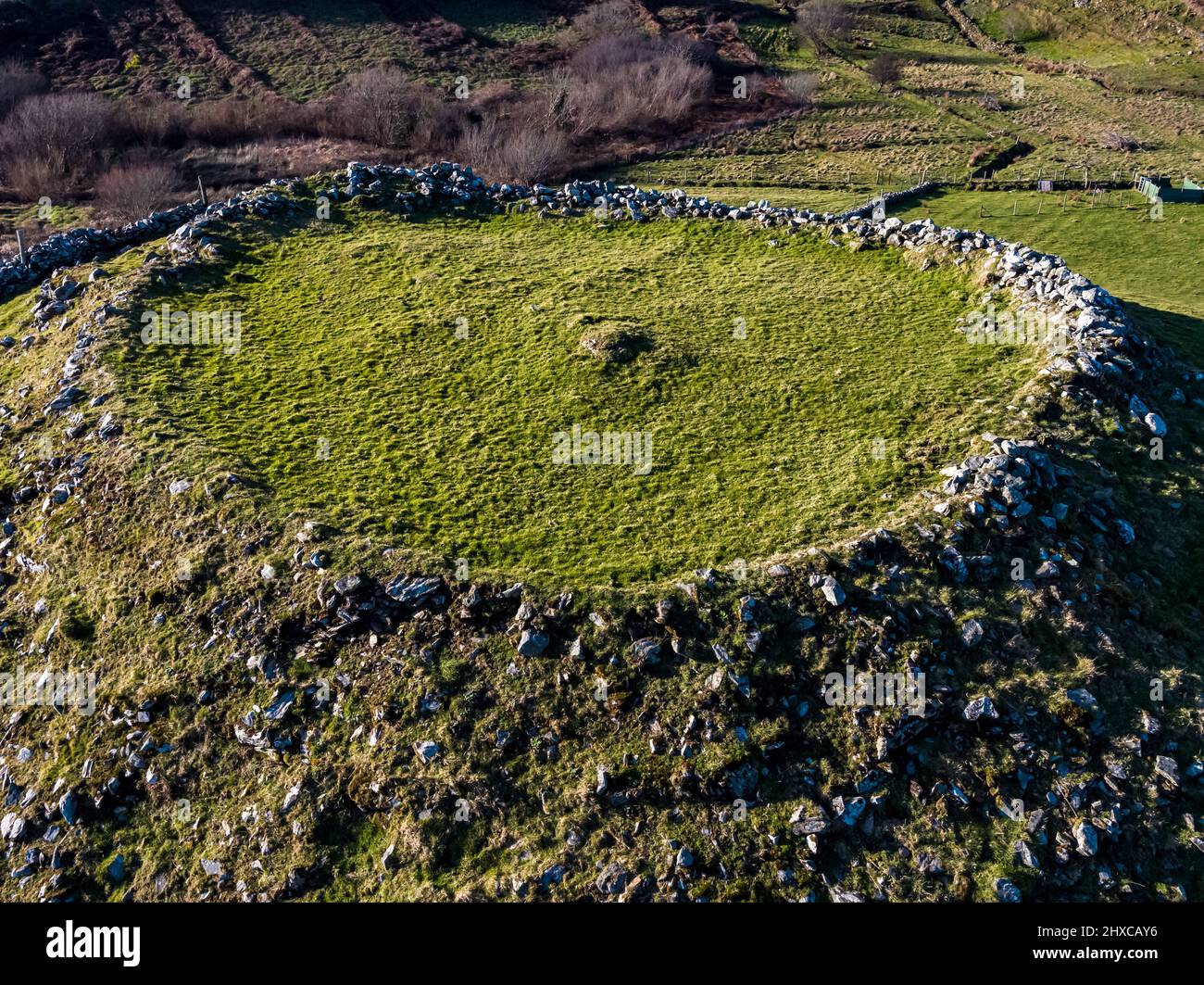 Fairy fort / earthen ringfort in HoneypoundFairy fort / earthen ringfort · 1.9 mi
Explorer Tom Fairy fort / earthen ringfort in Honeypound is a low-lying wet circle that would describe itself as 'moody but with…
 Anhid CemeteryCemetery · 2.0 mi
Explorer Tom Anhid Cemetery is run by a very serious dog who hasn't seen a human in years. He guards the gate with intense suspicion…
More historic places in County Limerick · All of County Limerick

What do you know about this place?Tap to add a comment or ask a question