What is recorded here
On low-lying ground beside a NW-SE stream. Marked on a Longfield map of 1753 in NLI (ms 21,F,44 (77)). The mill site is now in forestry. Derry Lodge is a two storey farmhouse.
From the National Monuments Service (Archaeological Survey of Ireland) record RO019-003
The monument record does not grant public access. Check the route and ask the landowner before entering private land.
- What survives
- Recorded monument
Places near here
Photo credits
- National Inventory of Architectural Heritage
- David Purchase, Geograph · CC BY-SA 2.0
- Duncan Grant, Wikimedia Commons · CC BY-SA 2.0
- Jscaguiat, Wikimedia Commons · CC BY-SA 4.0
- Mike Searle, Geograph · CC BY-SA 2.0
- David Purchase, Geograph · Creative Commons Attribution-ShareAlike 2.0
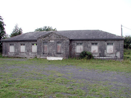 Loughglinn SchoolSchool · 2.7 mi
 Catholic Church of Our Lady of Good CounselChurch/chapel · 3.0 mi
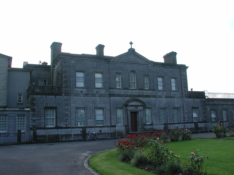 Loughglinn HouseCountry house · 3.5 mi
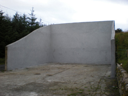 handball alley3.8 mi
 CashelFairy fort / stone ringfort · 4.0 miDruminagh WoodForest · 4.8 mi
 Clonalis HouseMuseum · 6.1 miBockagh HillMountain / peak · 7.4 mi
 IndicatedHouse, fortified house · 7.5 mi
 CastleCastle, unclassified · 7.5 mi
 Grave YardGraveyard · 7.5 miEast Mayo Brigade MonumentMemorial · 9.1 mi
More historic places in County Roscommon · All of County Roscommon
What do you know about this place?