What is recorded here
The precise location of this corn mill within the townland of Mountmurray has not been identified. One of four corn mills (WM011-161----/162-----/163----) depicted standing on the Golden Hand River on the 1659 Down Survey map of Leny parish. The terrier of the Down Survey parish map recorded that there was 'on the river of Golden hand foure corn mills in repaire' (NLI, MS 723-4). In 1682 Sir Henry Piers of Tristernagh described these mills as one of 'five overshaft mills, whereof the least hath a wheel twelve feet [3.65m] diameter; and one might have a wheel of eighteen feet [5.5m], beside which, seats might be found with convenience for more mills, if our country could find them employment. These mills are perennial, never dry, not in the greatest droughts I have seen' (Vallancey 1786, 17). These mills were located close to Mullenoran Bridge which derived its name from the existence of the mills. Mountmurray was formerly known as Ballenslott as depicted on the 17th century Down Survey maps.
Compiled & revised by: Caimin O'Brien
Date of revised upload: 7 December 2016
The monument record does not grant public access. Check the route and ask the landowner before entering private land.
- What survives
- Recorded monument
Places near here
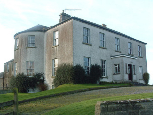 Mount Murray Housecountry house · 256 yd
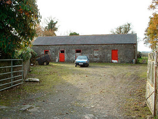 outbuildingoutbuilding · 1044 yd
 Kilpatrick WellHoly well · 1414 yd
 IndicatedBawn · 1462 yd
 Sweathouse in Clanhugh DemesneSweathouse · 1.1 mi
 Castle Quarter, Castle (in ruins)Castle, unclassified · 1.3 mi
 Carrickphilbin IslandIslet · 1.9 mi
 Srudarra IslandIslet · 2.6 mi
 Bridge Memorial (Kenna)Memorial · 2.9 mi
 Baronstown ForestWood · 3.5 mi
 Horse-chestnutHorse-chestnut · 3.7 mi
 South East GateHeritage attraction · 10 mi