What is recorded here
Behind a rocky ridge two hundred metres from O'Sullivan Beare's castle, George Carew hid four thousand soldiers and guns from a small defending force in 1602. The camp vanished without a stone, leaving only conifers and the memory of men waiting in darkness for an attack that never came.
In a coniferous wood, c. 200m to the SW of O'Sullivan Beare's castle (CO128-001002-) and the bastioned fort (CO128-001001-) at Dunboy. Following the defeat of the Irish forces in the Battle of Kinsale in December 1601, George Carew, the English commander, erected siege works around the tower house at Dunboy. Carew encamped behind a rocky ridge, c. 130m to the SW of the tower house, and set up an artillery position on the ridge. In 1602 a short-lived siege ensued between the 4,000 strong English army and a small force of O'Sullivan Beare followers who had remained to defend Dunboy castle. Stafford (1633, 310) records that the English forces found '...a faire place of good ground, and of capacity sufficient to encampe in, within twelvescore of the Castle, and yet out of the sight of it, by reason of a rising ground interjacent…'. There are no visible remains of the encampment in this location.
The above description is derived from 'The Archaeological Inventory of County Cork. Volume 5' (Dublin: Stationery Office, 2009).
Date of upload: 22 December 2009
This remains an important historical record, but the official description says the monument is no longer visible or has been destroyed. The monument record does not grant public access. Check the route and ask the landowner before entering private land.
- What survives
- No visible remains or recorded as destroyed
Places near here
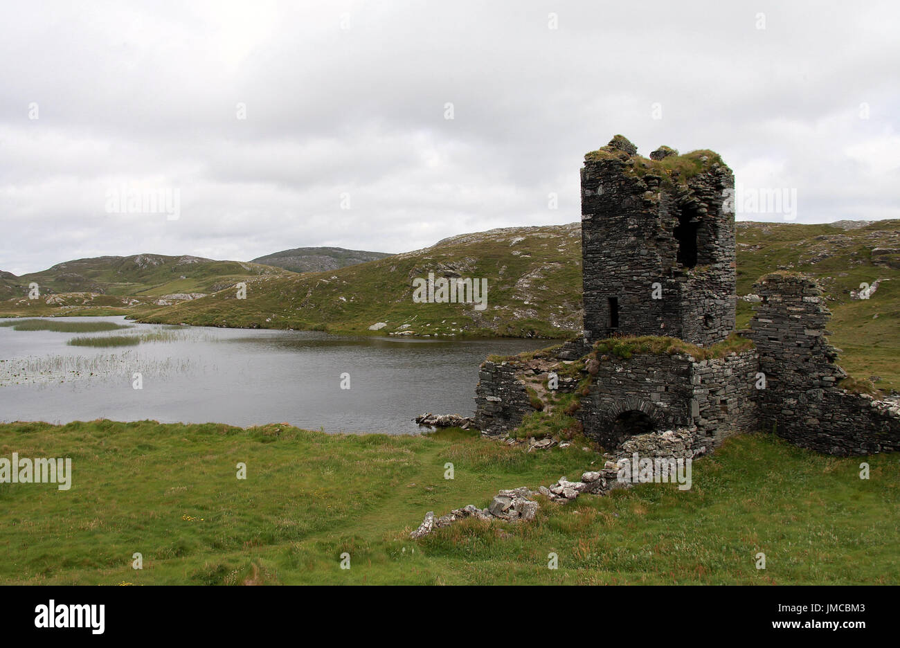 Hut site in DunboyHut site · 63 yd
 Dunboy CastleRuins · 153 yd
 Castle (in Ruins)Castle, tower house · 154 yd
 Siege of Dunboysiege · 155 yd
 TraneenBeach / strand · 553 yd
 Dunboy WoodForest · 634 yd
 Enclosure in DisertEnclosure · 778 yd
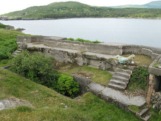 batterybattery · 1146 yd
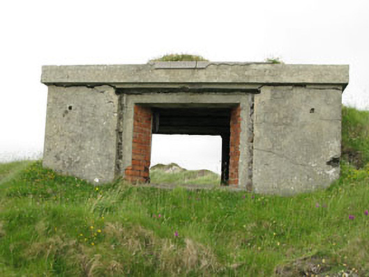 pill boxpill box · 1193 yd
 Ardnakinna West Island LoopWalking route · 1.0 mi
 Burial ground in DerrycreeveenBurial ground · 1.2 mi
 Sheep IslandsIslet · 1.2 mi