What is recorded here
Spanish ships entered Kinsale harbour on 2 October 1601, triggering a deadly winter siege. English troops built bastioned camps on the high ground, including a large rectangular sconce near Cappagh House that O'Neil later measured at nearly a hundred yards square. Four centuries of ploughing and pasture have erased nearly every marker, leaving only a field name and a vanished hole in the earth where soldiers bled.
On 2nd Oct. 1601 Spanish force occupied Kinsale town; by 4th Nov. English force occupying high ground around town to begin siege which lasted to 12 Jan 1602; Irish force defeated by English at Battle of Kinsale on 3rd Jan. (Mulcahy 1968, 54-67). Contemporary plans (O'Neil 1940, plate 8; Hayes-McCoy 1964, plate 13) show siege works and batteries erected by English on high ground around town; these appear to have taken the form of rectangular earthwork entrenchments with corner bastions. O'Neil's (ibid,114) survey of these siege works found traces only of 'Sr. Jaratt's Horseis' Sconce ... some 210 yards WSW of Cappagh House ... most of its outline is just traceable as a hollow in the fields on each side of the road and its eastern bastion exists as a formless lump in the field. It seems to have been 90 to 100 yards square.' This area now in pasture with no visible trace of features described by O'Neil; some c. 250m further W on N side of road is field known as 'Camp Field' but again no visible trace of fortifications. On high ground to N of town small townland of Camphill location of main English camp; again no visible trace of fortifications.
The above description is derived from the published 'Archaeological Inventory of County Cork. Volume 2: East and South Cork' (Dublin: Stationery Office, 1994). In certain instances the entries have been revised and updated in the light of recent research.
Date of upload/revision: 14 January 2009
This remains an important historical record, but the official description says the monument is no longer visible or has been destroyed. The monument record does not grant public access. Check the route and ask the landowner before entering private land.
- What survives
- No visible remains or recorded as destroyed
Places near here
 Cappagh Househouse · 240 yd
 Battle of KinsaleMajor battlefield · 613 yd
 Graveyard in Abbey-Lands, Part of (kinsale By., Ringcurran Par.)Graveyard · 707 yd
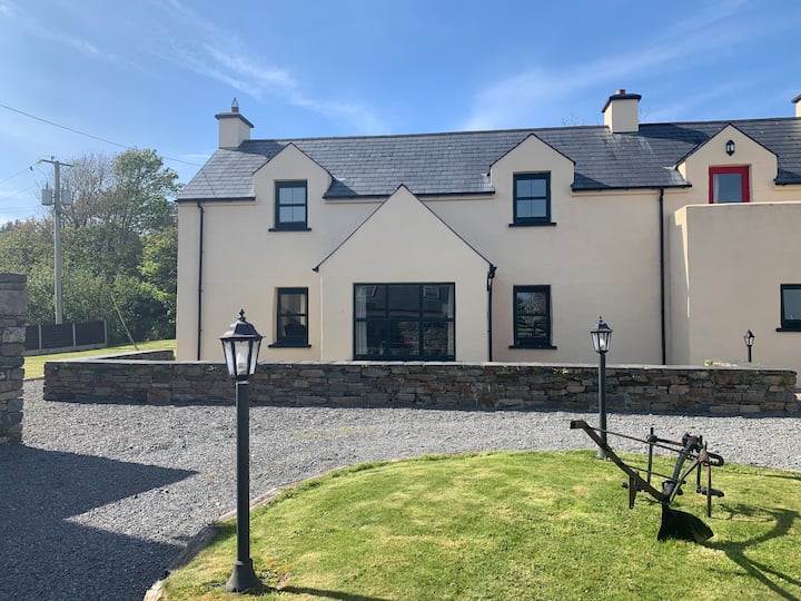 Abbey WellHoly well · 731 yd
 Abbey (in Ruins)Religious house, Carmelite friars · 757 yd
 Burial ground in BallynacubbyBurial ground · 862 yd
 Blacks Brewery & DistilleryHeritage attraction · 873 yd
 Kinsale Ghost ToursHeritage attraction · 1028 yd
 GaolCastle, tower house · 1053 yd
 James FortVisitor information · 1260 yd
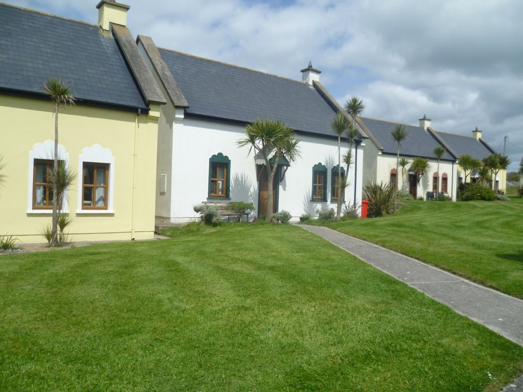 Kinsale Alms HousesVisitor information · 1363 yd
 Tim & Mortimer McCarthy MemorialMemorial · 1387 yd