What is recorded here
Situated at the bottom of a sand dune (H c. 30m) facing N along the N edge of the sand dunes above the high water mark. A shell midden is visilbe in the section consisting of a lense of cockle shells (L c. 5m; T c. 0.5m) that is overlain by a concentrated black layer (dims. 0.25m x 0.04m), possibly a hearth. A conservation project conducted by Waterford County Council since 2008 has had the result that it is now protected within a D-shaped enclosure (dims c. 100m E-W; c. 50m N-S) defined by a meshed wire fence, with an access path descending the dune (S-N) just to its W.
Compiled by: Jean Farrelly/Michael Moore
Date of upload/revision: 16 January 2012
The monument record does not grant public access. Check the route and ask the landowner before entering private land.
- What survives
- Recorded monument
Places near here
 Tramore StrandBeach / strand · 769 yd
 Memory of the crew of "Rescue 111"Memorial · 775 yd
 The Baldy ManViewpoint · 1050 yd
 Tramore Dunes WalkWalking route · 1716 yd
 Burnt spread in LisseltyBurnt spread · 1.1 mi
 Burnt spread in Corbally MoreBurnt spread · 1.1 mi
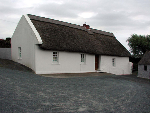 farm housefarm house · 1.3 mi
 Tramore Lifeguard Stationbuilding misc · 1.3 mi
 Lower ForestWood · 1.4 mi
 Main ForestWood · 1.5 mi
 Tourist InformationVisitor information · 1.6 mi