
What is recorded here
Located on the N-facing slope of a ridge overlooking Cummeen Strand and Sligo Bay. The slope drops steeply for several meters to a strip of salt marsh which gives way to the mud and sand flats of Cummeen Strand. To S, the slope rises c. 0.5m and then levels out to a broad natural terrace before rising again to the…
Read the whole record
From the National Monuments Service (Archaeological Survey of Ireland) record SL014-294
Places near here
Photo credits
- Maker not stated on source page, www.pxfuel.com
- National Inventory of Architectural Heritage
- Maker not stated on source page, www.flickr.com
- Maker not stated on source page, commons.wikimedia.org
- Maker not stated on source page, en.wikipedia.org
- Willie Duffin, Geograph · CC BY-SA 2.0
- Maelor at English Wikipedia, Wikimedia Commons · Public domain
- Colin Park, Geograph · CC BY-SA 2.0
- Pampuco, Wikimedia Commons · CC BY-SA 4.0
- Golfing in Ireland; photographer not stated, Source publisher
- St Mary’s GAA Sligo official club gallery; individual photographer not named, stmarys.sligo.gaa.ie
 St. Patrick's Cemetery ScardanCemetery · 842 yd
Explorer Tom St. Patrick's Cemetery Scardan has strong opinions about the local sheep, believing they are actually ancient druids in…
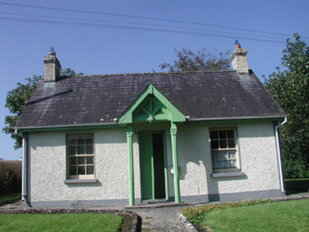 Rathcarrick HouseGate lodge · 844 yd
Explorer Tom Rathcarrick House in Scardan Beg makes map makers look like fools because they put a pin on it and then forgot which…
 CastleCastle, unclassified · 891 yd
Explorer Tom Castle in Scardan Beg started because two lads made a bet in the pub that lasted longer than their marriage. They both…
 Court tomb in CummeenCourt tomb · 1491 yd
Explorer Tom Court tomb in Cummeen is stuck in a feud between two families over who owns the best view of the sunset. One side says…
 Earthwork in Rinn (carbury By.)Earthwork · 1.0 mi
Explorer Tom Rinn's earthwork ended up in the wrong place because nobody bothered to check the map properly. It’s basically an…
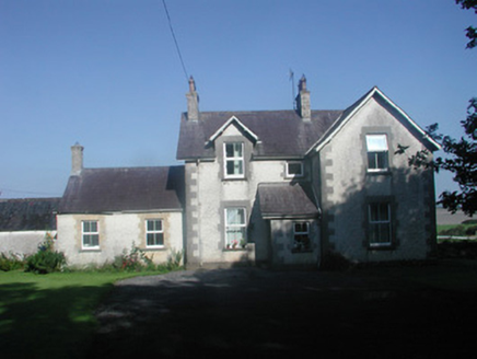 The RectoryRectory/glebe/vicarage/curate's house · 1.3 mi
Explorer Tom The Rectory in Strandhill is being mocked by the seagulls who claim its finely-crafted masonry detailing is just fancy…
 Oyster IslandIslet · 1.7 mi
Explorer Tom Oyster Island was clearly designed by a mother-in-law who wanted to be close to you but not too close, with that…
 Queen Medb's Cairn: KnocknareaLegend location · 1.7 mi
Explorer Tom Queen Medb's Cairn: Knocknarea sits high on the mountain, and legend gives it a queen for an occupant. It is an…
 Waiting on ShoreMemorial · 1.9 mi
Explorer Tom The Waiting on Shore memorial is stuck in eternal suspense, looking at the sea like it’s expecting a delivery that’s…
 Coney IslandIsland · 2.0 mi
Explorer Tom Sligo has a Coney Island too, and I had better specify which one before somebody sends you to New York. Its Irish name…
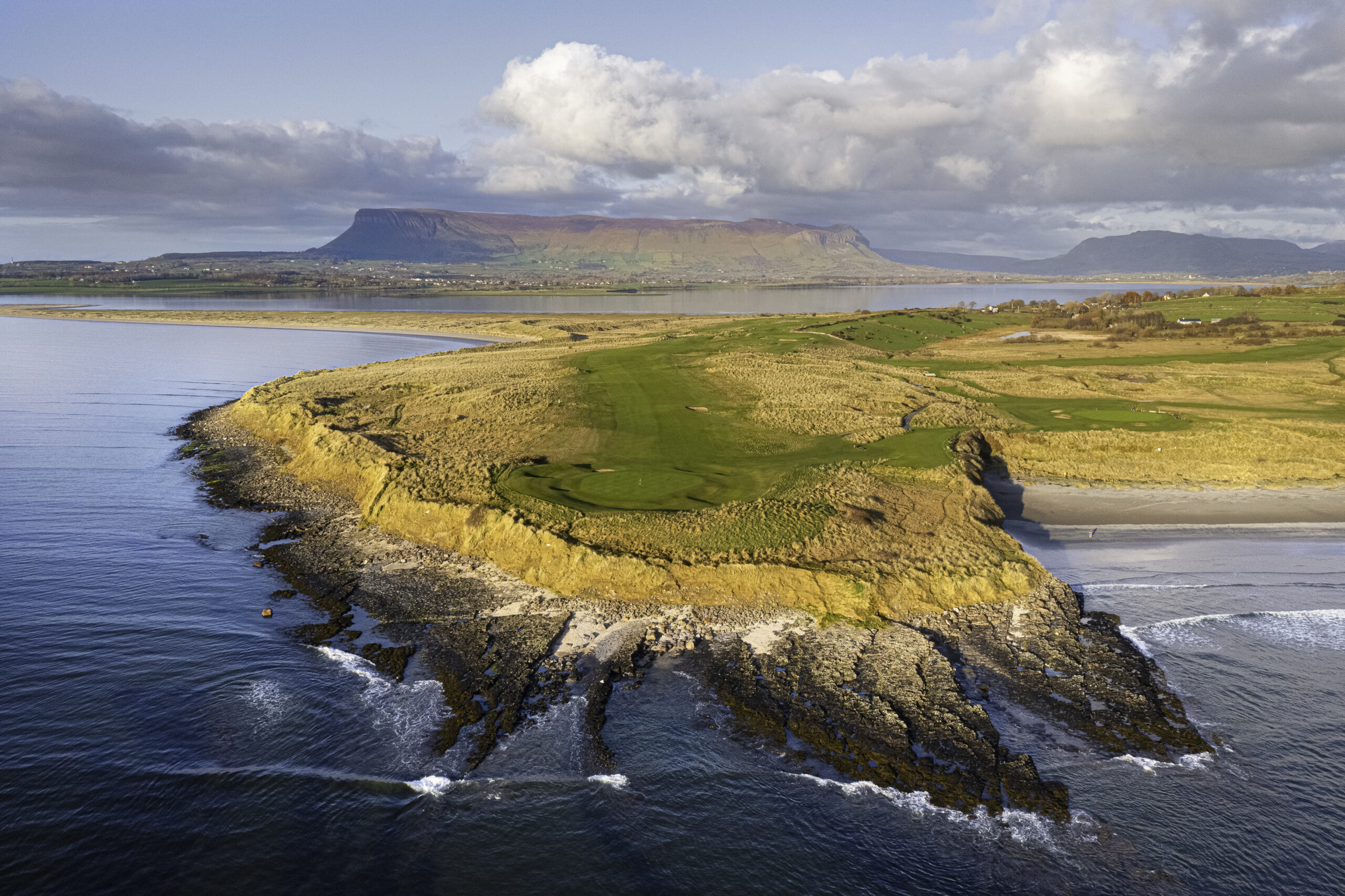 Co. Sligo Golf ClubGolf course · 2.0 mi
 Dick Kent Park, Naomh Eoin Hurling, SligoGAA ground · 2.1 mi
More archaeology and monuments in County Sligo · All of County Sligo

What do you know about this place?Tap to add a comment or ask a question