What is recorded here
The following description is derived from both the published 'Archaeological Inventory of County Louth' (Dublin: Stationery Office, 1986) and the 'Archaeological Survey of County Louth' (Dublin: Stationery Office, 1991). In certain instances the entries have been revised and updated in the light of recent research.
Date of upload/revision: 17 July 2007
Situated just W of midden LH008-026001-, on the edge of a morainic ridge, close to the entrance of a former lagoon. The midden was of indeterminate size, composed mainly of oyster (Ostrea edulis) and periwinkle (Littorina littorea) in association with a number of undiagnostic flint artefacts (CLAJ 1949, 14-20; Woodman 1978, 306-8).
The monument record does not grant public access. Check the route and ask the landowner before entering private land.
- What survives
- Recorded monument
Places near here
 Holy well in Bellurgan (dundalk Lwr By; Ballyboys Par.)Holy well · 447 yd
 Man-made underground passageEnclosure · 473 yd
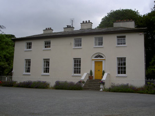 The Old Rectoryrectory/glebe/vicarage/curate's house · 953 yd
 Annaloughan MountainMountain / peak · 1557 yd
 The Round MountainMountain / peak · 1.3 mi
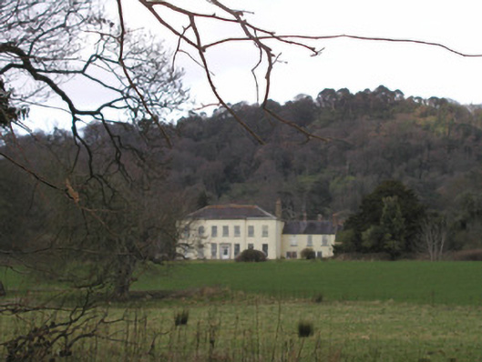 Bellurgan Parkhouse · 1.4 mi
 Soldiers' PointHeadland · 2.0 mi
 CastleCastle, tower house · 2.4 mi
 Proleek DolmenArchaeological place · 2.6 mi
 Louth County MuseumMuseum · 4.0 mi
 Battle of FaughartMajor battlefield · 4.0 mi
 Bombing 1975Memorial · 4.1 mi