What is recorded here
Shell midden visible in exposed section of ground possibly as a result of deer poaching located approx. 0.1m below the top sod. A piece of burnt flint was visible in the exposed section of the shell midden. Nearby 19th century cottage ruins located nearby to the NE.
The monument record does not grant public access. Check the route and ask the landowner before entering private land.
- What survives
- Recorded monument
Places near here
 InishtrahullIsland · 5 yd
 Mass-rock in InishtrahullMass-rock · 357 yd
 Inishtrahull SchoolRuins · 363 yd
 Inishtrahull Lighthouse (old)lighthouse, lighthouse keeper's house · 405 yd
 Doherty's Dun / Ballygorman Coastal FortPromontory fort, coastal · 5.0 mi
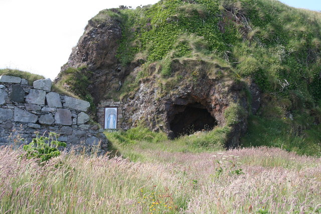 Wee House of Malin CaveCave · 5.5 mi
 Pebble StrandBeach / strand · 6.2 mi
 EIRE 80 signSecond World War neutrality sign · 6.4 mi
 Wild Atlantic Way:Malin HeadVisitor information · 6.5 mi
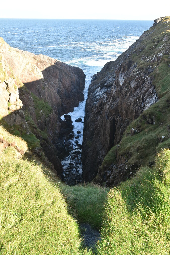 Hell's Hole Cavern, Malin HeadSea cavern and cliff chasm · 7.1 mi
 SkildrenbegIslet · 7.3 mi
 Devil's Bridge, Malin HeadNatural rock arch · 7.4 mi