What is recorded here
Located on the S shoreline of Finned point which juts into the inner reaches of Drumcliff Bay.
This midden (L c. 6m E−W; D 0.2m) is exposed in section in the land-edge scarp (H c. 2.7m) bordering a stony beach. It is visible just below the sod line (D 0.05-0.1m) at a height of 2.6m above the beach, and overlies boulder clay. It consists of a dense layer of oysters shells, mixed with lesser quantities of cockles, periwinkles, mussels, whelks and limpets in a matrix of brown and reddish soils. Small and medium-sized angular stones are intermixed with the shells. Parts of the layer have slumped or collapsed where the section face is eroding, and parts are obscured by grass/vegetation.
Notified to NMS by Tamlyn McHugh
Attached images:
SL008-216----_01.JPG viewed from E. This photo is courtesy of Tamlyn McHugh
SL008-216----_02.JPG viewed from S
SL008-216----_03.JPG detail of shells
Compiled by: Jane O’Shaughnessy
Date of upload: 7 July 2021
The monument record does not grant public access. Check the route and ask the landowner before entering private land.
- What survives
- Recorded monument
Places near here
 Finned PointHeadland · 85 yd
 Ballyigilgan Nature ReserveNature reserve · 1060 yd
 Enclosure in Carney (o'beirne)Enclosure · 1071 yd
 Paddy McGowan's WoodWood · 1271 yd
 Lissadell Housegate lodge · 1529 yd
 Church (Site of)Church · 1632 yd
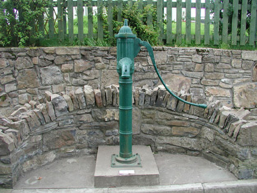 water pumpwater pump · 1659 yd
 Drumcliff BayBay · 1.1 mi
 Castle (Site of)Castle, unclassified · 1.4 mi
 CastleCastle, unclassified · 1.5 mi
 Rosses Point BeachBeach / strand · 1.9 mi
 Waiting on ShoreMemorial · 2.0 mi