What is recorded here
From the National Monuments Service (Archaeological Survey of Ireland) record SL008-058
The monument record does not grant public access. Check the route and ask the landowner before entering private land.
- What survives
- Recorded monument
Places near here
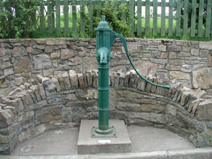 water pump950 yd
 Lissadell HouseGate lodge · 1098 yd
 Stone crossCross, High cross · 2.1 mi
 Drumcliff CemeteryGraveyard · 2.1 mi
 Rosses Point BeachBeach / strand · 2.1 mi
 Rosses Point BeachBeach / strand · 2.5 mi
 Waiting on ShoreMemorial · 2.6 mi
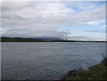 Oyster IslandIslet · 2.8 mi
 Kings MountainMountain / peak · 3.4 mi
 Coney IslandIsland · 3.6 mi
 Bawn in ArdtermonBawn · 3.7 mi
 Court tomb in GortnaleckCourt tomb · 3.8 mi
Pictures: National Inventory of Architectural Heritage; Oliver Dixon, Geograph · Creative Commons Attribution-ShareAlike 2.0; Maelor at English Wikipedia, Wikimedia Commons · Public domain; Kenneth Allen, Geograph · Creative Commons Attribution-ShareAlike 2.0; Bob Embleton, Geograph · CC BY-SA 2.0; Colin Park, Geograph · CC BY-SA 2.0; Willie Duffin, Geograph · CC BY-SA 2.0; Michael Murtagh, Geograph · CC BY-SA 2.0; Pampuco, Wikimedia Commons · CC BY-SA 4.0; Kenneth Allen, Geograph · CC BY-SA 2.0; Cliffoney, Wikimedia Commons · CC BY-SA 4.0
More archaeology and monuments in County Sligo · All of County Sligo
What do you know about this place?