What is recorded here
Between a road and the W bank of a stream, at the E end of Ballysadare Bay. A shell midden, consisting of a concentration of oysters and periwinkles and shell debris was identified during bore-hole testing for a new road (pers. comm. D. Cotton).
The above description is derived from the published 'Archaeological Inventory of County Sligo' compiled by Ursula Egan, Elizabeth Byrne, Mary Sleeman with Sheila Ronan and Connie Murphy (Dublin Stationery Office, 2005).
Date of upload: 18 January 2008
The monument record does not grant public access. Check the route and ask the landowner before entering private land.
- What survives
- Recorded monument
Places near here
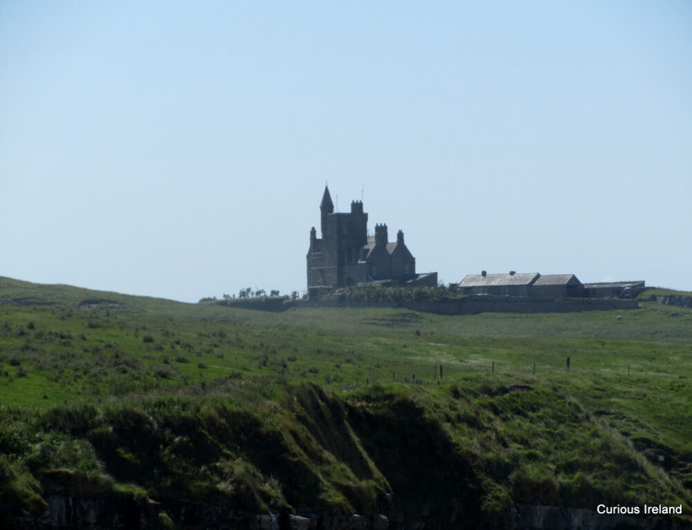 CastleCastle, unclassified · 116 yd
 Ballydrehid Br.Bridge · 129 yd
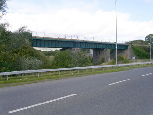 bridgebridge · 146 yd
 Enclosure in BelladrihidEnclosure · 577 yd
 IndicatedEnclosure · 915 yd
 Union RockForest · 1.5 mi
 Battle of Collooneybattle · 2.1 mi
 Teeling MonumentMemorial · 2.1 mi
 BunreecoillMountain / peak · 2.2 mi
 SlievewardMountain / peak · 2.2 mi
 Tobernalt Holy WellSpring · 2.7 mi
 Aghamore BayBay · 2.8 mi