What is recorded here
Located on the SW edge of a pasture field, bordering the shoreline on the inner reaches of Drumcliff Bay.
This midden is exposed in section in the land-edge scarp (1.6m) bordering a cobble beach. It directly underlies a thin layer (D 0.1m) of dark grey humic soil at a height of 1.45-1.5m above beach level, and overlies a layer (D 0.4m) of pale-coloured sand, beneath which is a slightly darker sand layer which drops to beach level.
It consists of a concentration (L 16m E‒W; D 0.15-0.2m) of estuarine sea shells -cockles, mussels, oysters, clams, periwinkles, razor shells- intermixed with grey sandy soil. The majority of the shells are in a fragmentary condition. Portions of the midden layer have slumped or collapsed down the section face as a result of on-going erosion. The underlying sand layers are riddles with rabbit burrows.
The 1838 OS 6-inch map indicates a road and a number of houses bordering the shoreline in this area. There are no traces of these features now in the field. It is possible that the midden was associated with that vernacular settlement.
A layer (L c. 4m E−W) of grey sandy soil incorporating charcoal chunks and fragments is visible in directly beneath the sod/topsoil (D 0.05m), c. 6m W of the midden. A pit-like feature (Wth 0.5m at top, 0.2m at base; D 0.5m) is visible in section towards the E end of the layer. At the W end of the layer another pit-like feature (Wth 0.3m; D 0.15m) is visible in section. The fill of both pits appears identical to the charcoal-rich layer, and both pits dip from the charcoal-rich layer into the underlying natural sand layers. It seems likely that these features are relatively modern in date, possibly related to the vernacular settlement shown on the 1838 OS 6-inch maps. The pits may be where fence posts along the edge of the field were driven through the charcoal layer.
Notified to NMS by Tamlyn McHugh.
Attached images:
SL008-218----_01.JPG: Midden viewed from E
SL008-218----_01.JPG: Midden viewed from S
SL008-218----_01.JPG: detail of shells
Compiled by: Jane O'Shaughnessy
Date of upload: 26 July 2021
The monument record does not grant public access. Check the route and ask the landowner before entering private land.
- What survives
- Recorded monument
Places near here
 Ballyigilgan Nature ReserveNature reserve · 287 yd
 Lissadell Housegate lodge · 438 yd
 Enclosure in Carney (o'beirne)Enclosure · 828 yd
 Paddy McGowan's WoodWood · 854 yd
 Finned PointHeadland · 1061 yd
 Enclosure in BallygilganEnclosure · 1189 yd
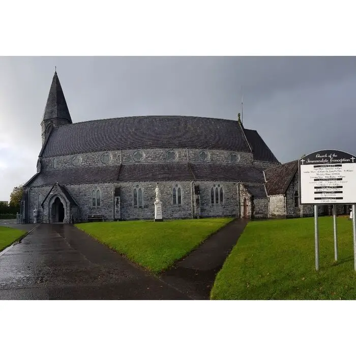 Church (in Ruins)Church · 1341 yd
 Castle (Site of)Castle, unclassified · 1.1 mi
 Drumcliff BayBay · 1.4 mi
 CastleCastle, unclassified · 1.9 mi
 Rosses Point BeachBeach / strand · 2.0 mi
 Waiting on ShoreMemorial · 2.5 mi