What is recorded here
Places near here
Photo credits
- Eric Jones, Geograph · CC BY-SA 2.0
- Maker not stated on source page, www.flickr.com
- N Chadwick, Geograph · CC BY-SA 2.0
- Eric Jones, Wikimedia Commons · CC BY-SA 2.0
- Aubrey Dale, Wikimedia Commons · CC BY-SA 2.0
- Eric Jones, commons.wikimedia.org
- Maker not stated on source page, au.pinterest.com
- Maker not stated on source page, www.irishexaminer.com
 Mullog PointHeadland · 1001 yd
Explorer Tom Mullog Point is a headland that was nearly sold to a farmer for the price of one very large horse. The deal fell…
 Castle FlannanWalking route · 1531 yd
Explorer Tom Castle Flannan would win a county fair by juggling three stones and calling them 'medieval artifacts.' It’s recorded as…
 Anglo-norman coffin lids (2) (in C. of I. church) & site of medieval church in KilcliefAnglo-norman coffin lids (2) (in C. of I. church) & site of medieval church · 1608 yd
Explorer Tom Anglo-norman coffin lids (2) & site of medieval church in Kilclief would spill the beans after three pints about who…
 Parish ChurchChurch · 1611 yd
Explorer Tom This Parish Church in County Down is a Grade B beauty that locals swear by superstitions about. They say if you wave at…
 Tower-house & C13th coffin lid: kilclief castle in KilcliefTower-house & C13th Coffin Lid: Kilclief Castle · 1660 yd
Explorer Tom Tower-house & C13th coffin lid: Kilclief castle in Kilclief is hiding a medieval body part that’s seen more drama than…
 Kilclief CastleCastle · 1665 yd
Explorer Tom Kilclief Castle has had so many names over the years that it’s lost track of what its actual identity is supposed to be…
 Kilclief BeachBeach / strand · 1683 yd
Explorer Tom Kilclief Beach sits on the Narrows of Strangford Lough with an improbable collection of neighbours: a medieval castle…
 St. Malachy's Park, Beann Dhearg GAA, KilcliefGAA ground · 1.4 mi
 Possible site of church & graveyard in GlebePossible site of church & graveyard · 1.4 mi
Explorer Tom Possible site of church & graveyard in Glebe might not even exist, which is funny given the name. A fairy dispute over…
 Ballyhornan Picnic SitePicnic place · 1.5 mi
Explorer Tom Ballyhornan Picnic Site is surrounded by sheep who have very strong opinions about which side of the fence you should…
 Strangford Holiday Park Picnic AreaPicnic place · 1.5 mi
Explorer Tom Strangford Holiday Park Picnic Area has a quiet rivalry with the GAA ground next door, mostly over who gets to claim…
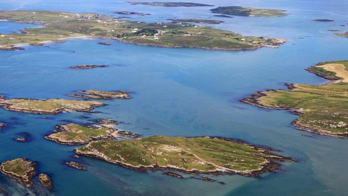 Sandy IslandIslet · 1.6 mi
Explorer Tom Sandy Island has developed a deep suspicion of the postman, convinced he’s delivering letters to ghosts from the last…

What do you know about this place?Tap to add a comment or ask a question