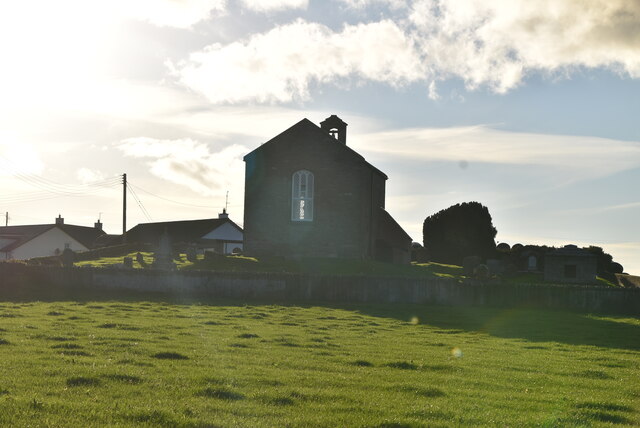
What is recorded here
Two Anglo-Norman coffin lids still lie inside the Church of Ireland building, marking the medieval church buried beneath Kilclief. They are not display trophies but dead men’s trays, saved from demolition and carried into the newer worship room. The church changed, the town changed, and the lids refused to disappear.
The official Northern Ireland record identifies this as ANGLO-NORMAN COFFIN LIDS (2) (in C. of I. church) & site of MEDIEVAL CHURCH. Recorded period: MEDIEVAL; MODERN; C13TH. Recorded protection: Scheduled. The official map point was placed at the centre of the recorded archaeological site from the source map reference.
The Anglo-Norman coffin lids and the site of the medieval church in Kilclief were likely built in the 13th century, reflecting early Christian burial practices and ecclesiastical architecture in the region. The remains are significant as rare physical evidence of medieval religious activity and Anglo-Norman influence in County Down.
The monument record does not grant public access. Check the route and ask the landowner before entering private land.
- What survives
- Recorded monument
Places near here
 Parish ChurchChurch · 8 yd
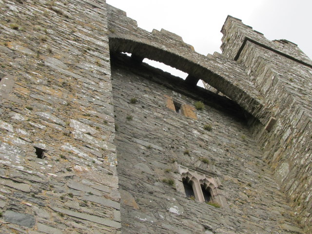 TOWER-HOUSE & C13th COFFIN LID: KILCLIEF CASTLE in KilcliefTOWER-HOUSE & C13th COFFIN LID: KILCLIEF CASTLE · 152 yd
 Kilclief CastleCastle · 153 yd
 Kilclief BeachBeach / strand · 280 yd
 Mullog PointHeadland · 817 yd
 Strangford Holiday Park Picnic AreaPicnic place · 1074 yd
 MEDIEVAL CHURCH (unlocated): ABBOT-GRANGE in BallywoodanMEDIEVAL CHURCH (unlocated): ABBOT-GRANGE · 1.4 mi
 Enclosure (Rath?) in Ballyculter LowerEnclosure (Rath?) · 1.4 mi
 A.P. SITEA.P. SITE, oval enclosure · 1.6 mi
 Sandy IslandIslet · 1.7 mi
 Ballyquintin Point Nature ReserveNature reserve · 1.8 mi
 CHURCH & GRAVEYARD: BALLYCULTER, CHRISTCHURCH in Ballyculter UpperCHURCH & GRAVEYARD: BALLYCULTER, CHRISTCHURCH · 1.8 mi
Other information
Photo: N Chadwick · CC BY-SA 2.0