
What is recorded here
Ballyculter Upper holds a medieval church and graveyard where post-medieval life continued to mark the body and memory. The stones may have watched births, deaths and ordinary prayers long before modern roads passed nearby. People likely carried grief, joy and daily habit into that small sacred space, making the earth remember what distance forgets.
The official Northern Ireland record identifies this as CHURCH & GRAVEYARD: BALLYCULTER, CHRISTCHURCH. Recorded period: POST-MED; MEDIEVAL. The official map point was placed at the centre of the recorded archaeological site from the source map reference.
Medieval Christian church and graveyard; significant as a religious and community site from the medieval period onwards.
The monument record does not grant public access. Check the route and ask the landowner before entering private land.
- What survives
- Recorded monument
Places near here
 Christ ChurchChurch · 203 yd
 Enclosure (Rath?) in Ballyculter LowerEnclosure (Rath?) · 876 yd
 Cargagh ChapelChurch · 1610 yd
 Castle Ward ForestForest · 1.2 mi
 Castle Ward HouseHeritage attraction · 1.2 mi
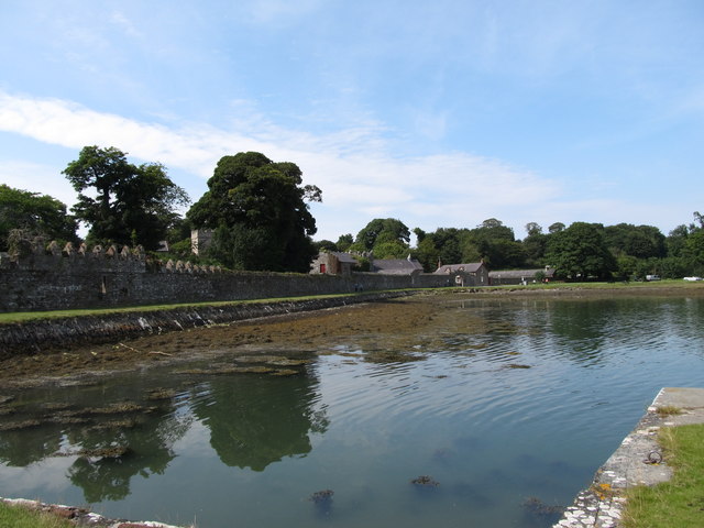 STONE QUAY in CastlewardSTONE QUAY · 1.5 mi
 Strangford Holiday Park Picnic AreaPicnic place · 1.5 mi
 St Patrick's WayWalking route · 1.6 mi
 Cranes' CornerHeadland · 1.6 mi
 Sandy IslandIslet · 1.6 mi
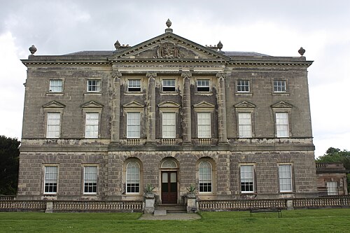 Castle WardCastle · 1.6 mi
 TOWER-HOUSE: OLD CASTLE WARD in CastlewardTOWER-HOUSE: OLD CASTLE WARD · 1.6 mi
Other information
Photo: Eric Jones · Creative Commons Attribution-ShareAlike 2.0