What is recorded here
Sir William Petty, in his unpublished papers, mentions that an ironworks had stood near Roughty Bridge (KE093-127----) (Barnard 1982, 4). The bridge is indicated on the Down Survey barony map of Glanarought (1655-6) spanning the Roughty River between the townlands of Caher East and Kilgortaree, though its precise location is not known. The location of the ironworking site also remains unknown.
The above description is derived from the published 'Archaeological Inventory of County Kerry. Volume I: South-West Kerry' (Dublin: Stationery Office, 2009). In certain instances the entries have been revised and updated in the light of recent research.
Date of upload: 30 May 2011
The monument record does not grant public access. Check the route and ask the landowner before entering private land.
- What survives
- Recorded monument
Places near here
 CastleCastle, unclassified · 1 yd
 Roughty BrBridge · 605 yd
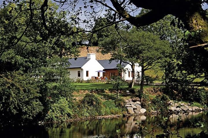 Roughty LodgeCountry house · 644 yd
 SheepfoldEnclosure · 935 yd
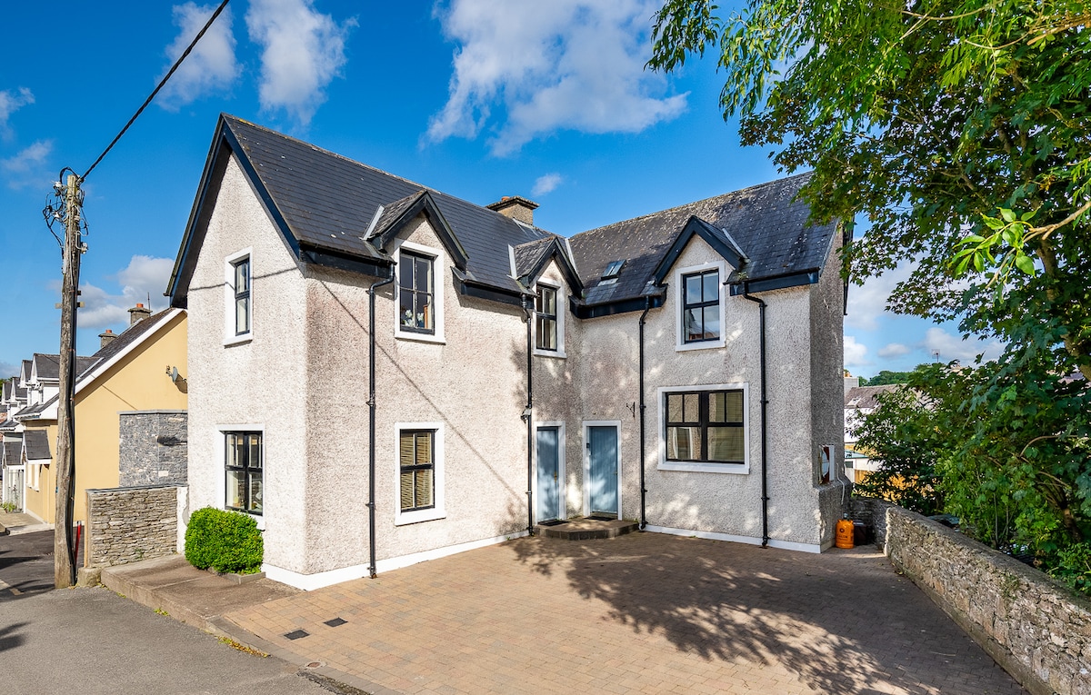 St Finans WellHoly well · 1497 yd
 Shanagarry Castle (Site of)Castle, unclassified · 1.2 mi
 Monterey PineMonterey Pine · 1.3 mi
 The Lodge WoodWood · 1.4 mi
 Mill Cove Gallery / John Brennan StudioGallery · 1.5 mi
 Kenmare Heritage Town - Main StreetMemorial · 1.5 mi
 Cleo GalleryGallery · 1.5 mi
 Kenmare Tourist Information OfficeVisitor information · 1.6 mi