What is recorded here
Mucklagh 1 was partially excavated by Linda Hegarty of Headland Archaeology under licence No. E2845 and is located c. 3.5km south-west of Tullamore in level grazing land. Immediately south-west of the proposed road-take is a church and graveyard. Evidence of metalworking (Contexts 008 and 009) was identified in Trench 16, c. 240m from the eastern end of the centre-line test-trench, and was excavated in February 2007. Contexts 008 and 009 were both almost circular in plan measuring 0.6m by 0.8m and 0.5m by 0.6m respectively. They contained moderately compact black charcoal-enriched silt with many pieces of slag and other metalworking debris. They also contained much charcoal. The two deposits were situated c. 2m apart within a trace outline of a possible linear feature. These features remained unexcavated due to their obvious archaeological nature and the increased risk of losing valuable information (Bennett 2010, 404).
Compiled by Caimin O'Brien
Date of upload/revision: 09 November 2011
The monument record does not grant public access. Check the route and ask the landowner before entering private land.
- What survives
- Recorded monument
Places near here
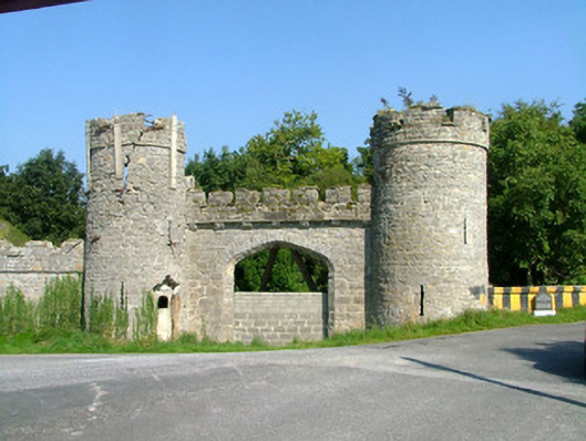 Charleville Castlegate lodge · 164 yd
 IndicatedEnclosure · 221 yd
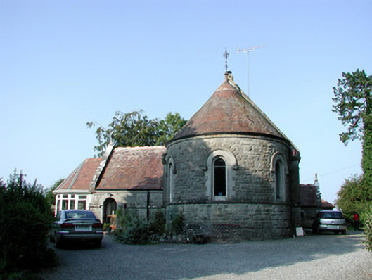 Saint Bartholomew's Church (Lynally)church/chapel · 317 yd
 European YewEuropean Yew · 318 yd
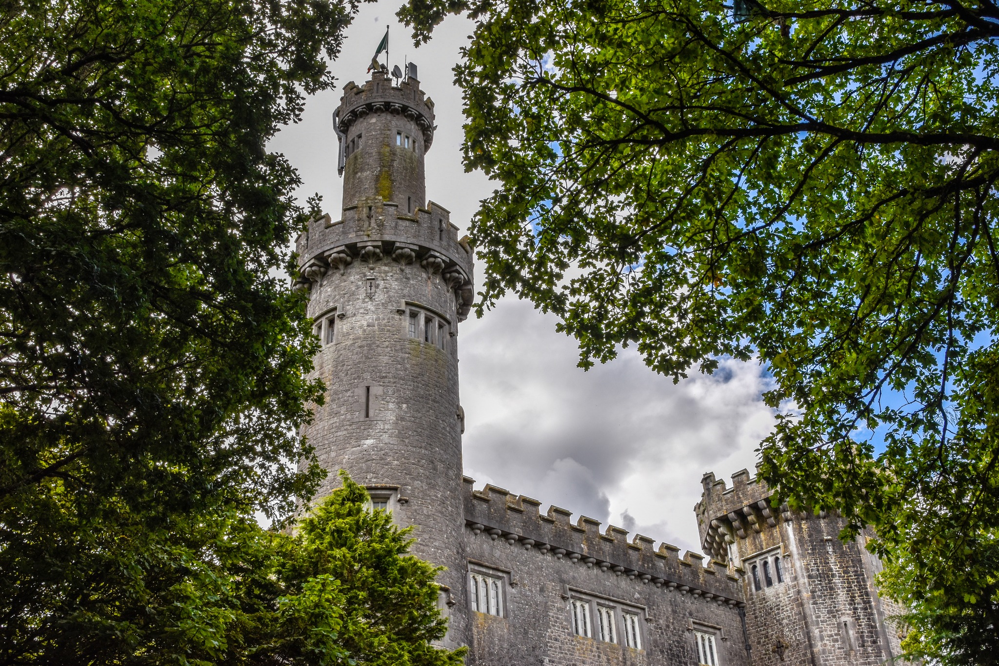 CastleCastle, unclassified · 612 yd
 Pedunculate OakPedunculate Oak · 927 yd
 Sugar HillMountain / peak · 1460 yd
 Christ's WellSpring · 1507 yd
 Mound in Lynally GlebeMound · 1564 yd
 Ardnagross WellSpring · 1.1 mi
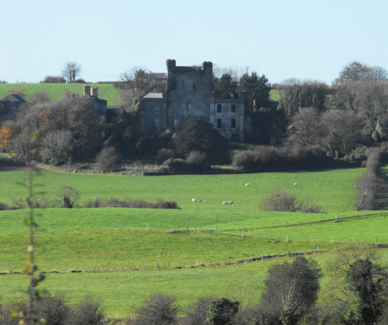 St O'Hara's HillMountain / peak · 1.2 mi
 Ballycowan CastleCastle · 1.7 mi