What is recorded here
Identified in centre-line testing (E4110) in advance of the M11 Gorey to Enniscorthy road scheme and set aside for resolution as Medophall 1 (Hardy et al. 2010, 46). It is situated on a gentle SW-facing slope. An extensive area (dims c. 50m x c. 30m) was excavated (E4263) by B. Sutton, but apart from post-medieval features the only medieval feature was a hook-shaped slot-trench (Wth 0.35m; 0.15-0.2m) which forms the NW (L 6.5m) and NE (L 4m) sides of a structure with a return (L c. 2m) of the trench at the SE end of the NE side. Two pits (dims 0.9m x 0.7m; D 0.05m: 0.53m x 0.4m; D 0.44m), 1.5m apart, are centrally placed at the NE end of the structure. All these features were severely truncated, but all contained slight traces of slag. While a sample from the smaller pit returned a C14 determination of cal. AD 976-1036, a sample from the slot-trench returned a C14 date of cal. AD 1414-1453. A sherd of Leinster cooking ware and a fragment of an iron key from a mounted lock were from an upper fill of the slot-trench, and it is likely that the earlier date may be from redeposited material (McNamara 2011; Sutton 2013; Eogan and Kelly 2016, 233-4)
Cmpiled by: Michael Moore
Date of upload: 26 November, 2013
The monument record does not grant public access. Check the route and ask the landowner before entering private land.
- What survives
- Recorded monument
Places near here
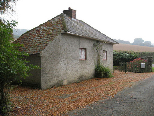 Ballymore Housegate lodge · 1432 yd
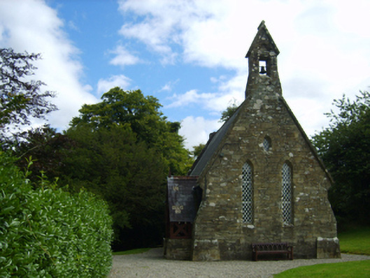 Holy Trinity Church (Kilbride)church/chapel · 1469 yd
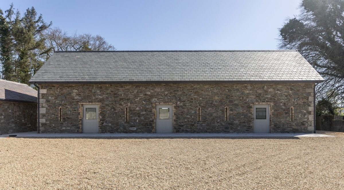 Enclosure in Ballymore DemesneEnclosure · 1497 yd
 site of ChurchChurch · 1500 yd
 Milshoge RockMountain / peak · 1654 yd
 Carrigroe HillMountain / peak · 1.1 mi
 Giants BedNamed rock · 1.3 mi
 The GroveWood · 2.3 mi
 The CoilWood · 2.4 mi
 Father Murphy CentreHeritage attraction · 3.9 mi
 Ferns Castle (in ruins)Castle, Anglo-Norman masonry castle · 4.6 mi
 1798 MonumentMemorial · 6.1 mi