What is recorded here
Excavated in advance of construction of the N9/N10 Kilcullen-Waterford Road (Excavation Licence number E2605). Six shallow circular burnt pits, two of which contained iron slag, were uncovered. 'The shallow nature of the pits suggests that the area was not the primary site of manufacture but a further stage in the manufacturing of iron artefacts'. (Hackett, L. 2009, 43)
Reference:
Hackett, L. (2009) 'Cloghristick Field boundaries/metalworking' in I. Bennett (ed.), Excavations 2006: summary accounts of archaeological excavations in Ireland, 43 (177). Bray. Wordwell
Compiled by: Claire Breen
Date of upload: 10 November 2010
The monument record does not grant public access. Check the route and ask the landowner before entering private land.
- What survives
- Recorded monument
Places near here
 Milford Locklock · 952 yd
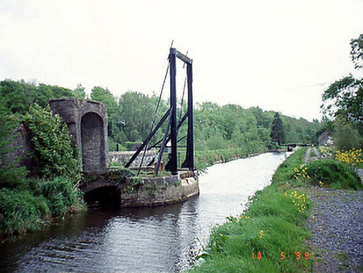 bridgebridge · 1105 yd
 Enclosure in PowerstownEnclosure · 1413 yd
 Enclosure in ClonmelshEnclosure · 1447 yd
 Graveyard in ClonmelshGraveyard · 1.1 mi
 Graveyard in Tomard Lower (3 Detached Portions)Graveyard · 1.2 mi
 Common LimeCommon Lime · 2.1 mi
 Black Castle (in ruins)Castle, tower house · 2.6 mi
 Clogrenan CastleCastle, tower house · 2.7 mi
 Gallows HillMountain / peak · 3.9 mi
 Sweet ChestnutSweet Chestnut · 4.1 mi
 Carlow CastleRuined medieval castle · 4.5 mi