What is recorded here
Excavated (98E0575) as Area 11 of the N25 Kilmacthomas re-alignment. A small area (dims. c. 8m x c. 6m) produced four hearths that post-dated an occupation layer. The hearths (dims. up to c. 1.8m) were dug into or burned into the soil and contained many layers with iron slag, charcoal and baked clay. An arc of stake-holes just to the NW (C c. 3m) may have provided shelter. Among the artefacts recovered were a sherd of 13th century Waterford B ware as well as flint fragments. Charcoal from a hearth produced a determination of cal. AD 1670-1950. The early medieval metal-working site (WA015-106003-) is c. 25m to the WNW. (Tierney and Frazer 2008)
Compiled by: Michael Moore.
Date of upload: 17th December, 2010.
The monument record does not grant public access. Check the route and ask the landowner before entering private land.
- What survives
- Recorded monument
Places near here
 Field boundary in AhanagloghField boundary · 15 yd
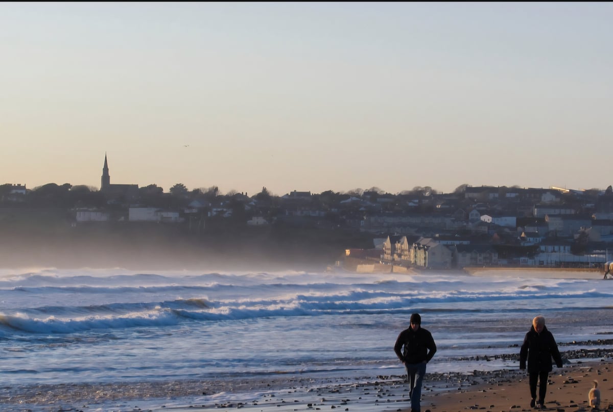 Fulacht fia in AhanagloghFulacht fia · 85 yd
 Castle (in ruins)Castle, unclassified · 1220 yd
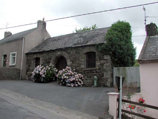 Historic buildingOfficially recorded historic building · 1.2 mi
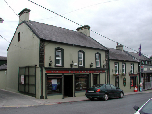 D. Kirwanhouse · 1.2 mi
 8 Arch GalleryGallery · 1.3 mi
 Site of Cas.Castle, unclassified · 1.4 mi
 Crough WoodWood · 3.2 mi
 Magic Road (finish)Heritage attraction · 3.9 mi
 Croughaun HillMountain / peak · 4.0 mi
 Kilclooney WoodForest · 4.1 mi
 Ballydowane CoveBeach / strand · 4.6 mi