What is recorded here
Located on the water's edge at the W shore of Lough Currane, this structure consists of a small chamber, open to WSW, roofed by a large slab which rests on a triangular arrangement of supports. Large rectangular slabs, averaging .5m high, .95m long and .35m thick, form the supports at N and E. The S side consists of two stones; the larger is prostrate and has a pad-stone on top. The cap-stone measures 1.8m x 1.2m x .2m, and internally the chamber measures 1.4m x .93m. Extending SE from the structure is a 3.3m stretch of collapsed stone-walling.
The above description is derived from A. O'Sullivan and J. Sheehan (compilers), 'The Iveragh peninsula: an archaeological survey of South Kerry'. Cork University Press (1996), no. 90. In certain instances the entries have been revised and updated in the light of recent research.
Date of upload: 28 July 2013
Portal dolmen; likely dates to the Neolithic period (c. 4000–2500 BCE). Its coastal location and megalithic construction suggest ritual or funerary significance, typical of early communal burial practices in the region.
The monument record does not grant public access. Check the route and ask the landowner before entering private land.
- What survives
- Recorded monument
Places near here
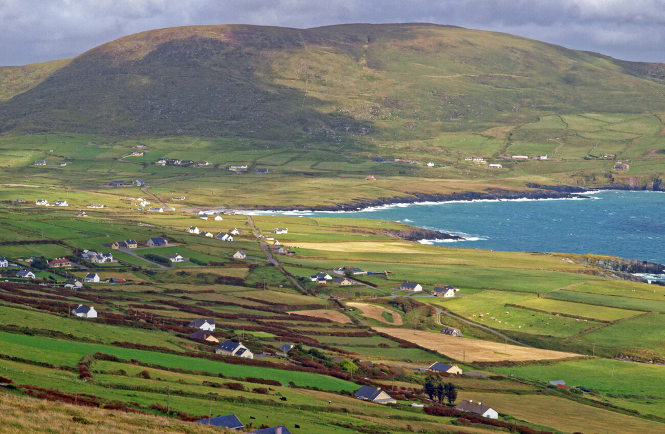 IndicatedEnclosure · 281 yd
 Enclosure in WatervilleEnclosure · 329 yd
 CastleCastle, tower house · 864 yd
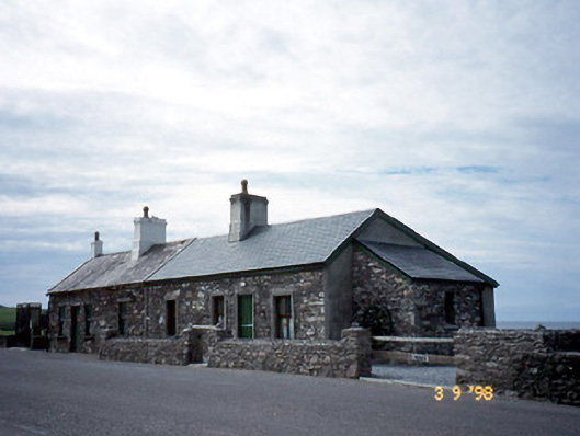 coastguard stationcoastguard station · 1061 yd
 Waterville PromenadeWalking route · 1066 yd
 T. C. Millerick MemorialMemorial · 1079 yd
 Templenakilla (in Ruins)Church · 1115 yd
 Butler MemorialMemorial · 1151 yd
 Inny StrandBeach / strand · 2.2 mi
 An Bheann MhórMountain / peak · 2.3 mi
 An PlaoscHeadland · 2.8 mi
 Farraniaragh MountainMountain / peak · 2.8 mi