What is recorded here
Located on the N bank of an E-W section of a stream, which is immediately to the S and runs through rock outcrop immediately to the W. It is described as a ‘Cromlech’ only on the 1907 edition of the OS 6-inch map. It consists of an overgrown chamber aligned NW-SW with a large capstone but there is no visible evidence of a cairn.
The above description is derived from the published 'Archaeological Inventory of County Monaghan' (Dublin: Stationery Office, 1986). In certain instances the entries have been revised and updated in the light of recent research.
Revised by: Michael Moore
Date of revision: 18 June 2018
Portal dolmen; likely dates to the Neolithic or early Bronze Age. Its local significance is suggested by its mapping as a 'Cromlech,' a term historically used for chambered tombs in Ireland.
The monument record does not grant public access. Check the route and ask the landowner before entering private land.
- What survives
- Recorded monument
Places near here
 Carrick an AffrinMass-rock · 20 yd
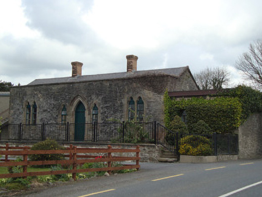 Monaghan Road Railway Stationrailway station · 847 yd
 IndicatedFairy fort / earthen ringfort · 1441 yd
 W. Sloanhouse · 1730 yd
 Ballybay Wetland CentreNature reserve · 3.8 mi
 LisnaspeenanMountain / peak · 3.9 mi
 The Rabbit BurrowWood · 4.1 mi
 Rossmore MausoleumHeritage attraction · 4.1 mi
 Giant Redwood (1862)Heritage attraction · 4.3 mi
 Fedd HillMountain / peak · 4.3 mi
 Senator Billy Fox 1939 - 1974Memorial · 8.7 mi
 Gull IslandIslet · 11 mi