
What is recorded here
In woodland on the former demesne of Cahir Guillamore House, 150m SE of the townland boundary with Caherguillamore. Rockbarton House 500m to S. Located in the NE boundary of a field system (LI031-206----), 160m NW of a cashel (LI031-075----). Upstanding monument labelled Site 5 and described by Ó Ríordáin and Hunt (1942, 42) as consisting of the ‘remains of a ruined megalith here, but it is not clear what type of tomb is represented, it appears to have been a " gallery grave," the present length of which is 16’ [4.8m] approximately’. Recorded by Grogan (1989, Vol. 2, 24) as a 'possible wedge-tomb'. The monument is not visible on the OSi orthophotograph taken between 2005-12 or Google Earth orthoimages.
See attached location map with tomb labelled 5 and Google Earth orthoimages
Compiled by: Fiona Rooney
Date of upload: 22 March 2021
Megalithic tomb in Raheen is a portal dolmen dating to the Neolithic period. Its location within a field system suggests it may have been part of a broader ritual or territorial landscape.
The monument record does not grant public access. Check the route and ask the landowner before entering private land.
- What survives
- Recorded monument
Places near here
 Field system in Raheen (coshma By.)Field system · 193 yd
 Burial in Raheen (coshma By.)Burial · 307 yd
 CastleCastle, unclassified · 638 yd
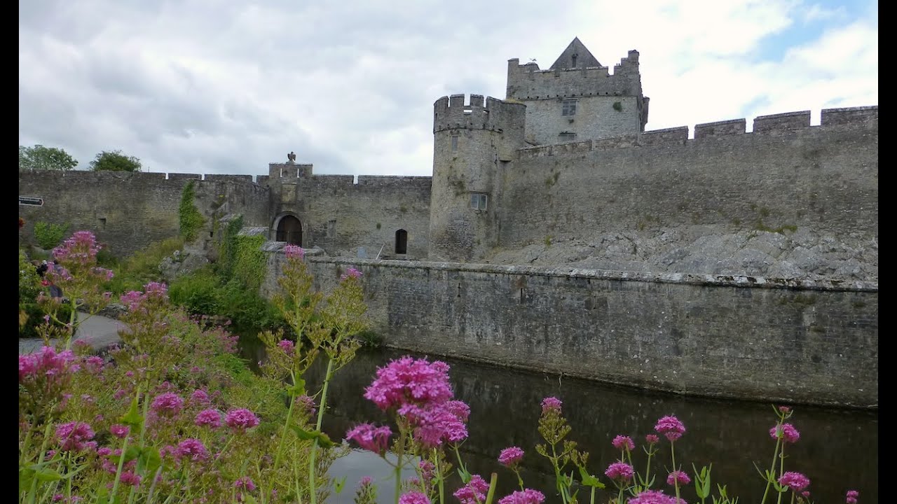 Cahir GuillamoreHouse, 17th century · 766 yd
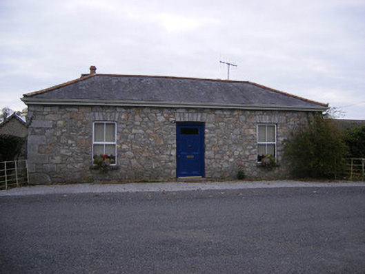 Rockbarton Housegate lodge, outbuilding · 856 yd
 Bawn in Grange (smallcounty By.)Bawn · 1309 yd
 Lough GurVisitor information · 1628 yd
 Grange Stone CircleArchaeological place · 1687 yd
 Pedunculate OakPedunculate Oak · 1.9 mi
 The SpectaclesVisitor information · 2.0 mi
 Lough Gur Heritage CentreVisitor information · 2.0 mi
 KnockainyMountain / peak · 4.2 mi
Other information
Photo: Credit not shown in the picture search · Rights wording not checked; contact us if this picture should be removed