What is recorded here
Sited just 200m S of wedge tomb (TN039-017) in a prominent position on a hillock in upland pasture. The remains are scant perhaps because of deliberate disturbance that may account for a subcircular depression measuring some 7m x 6m and at least 0.3m deep on top of the hillock. At the northern edge of the depression there is a low orthostat aligned WNW-ESE. It is 1.45m long, 0.15m thick and slopes from 0.65m high at its more westerly end to 0.15m at the opposite end. Some 0.5m S of this there is a prostrate slab 1.6m in maximum dimension while 5-7m to the SW there are three irregularly spaced stones, possibly representing a kerb. The diminution in height of the orthostat from W to E would suggest it could be the surviving remnant of the gallery side or outer-wall of a wedge tomb.
Compiled by: Caimin O'Brien.
Date of upload: 22 September 2008
Megalithic tomb, likely Neolithic in date, associated with a nearby wedge tomb. Its location suggests it was part of a broader ritual landscape used for burial and ceremonial purposes during the Neolithic period.
The monument record does not grant public access. Check the route and ask the landowner before entering private land.
- What survives
- Recorded monument
Places near here
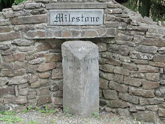 milestone/milepostmilestone/milepost · 1097 yd
 Wedge tomb in Knockcurraghbola CommonsWedge tomb · 1.2 mi
 Hut site in AughvallydeagHut site · 1.2 mi
 KnockmaroeMountain / peak · 1.2 mi
 KnocknabanshaMountain / peak · 1.8 mi
 Site of Cashlauncreen CastleCastle, tower house · 2.3 mi
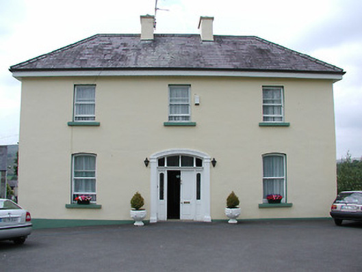 presbytery/parochial/curate's housepresbytery/parochial/curate's house · 2.5 mi
 Drumbane CastleCastle · 5.3 mi
 Drum WoodWood · 5.7 mi
 Gortard WoodForest · 7.4 mi
 Silvermines ViewpointViewpoint · 9.0 mi
 Our Lady Assumed into HeavenMemorial · 9.9 mi