What is recorded here
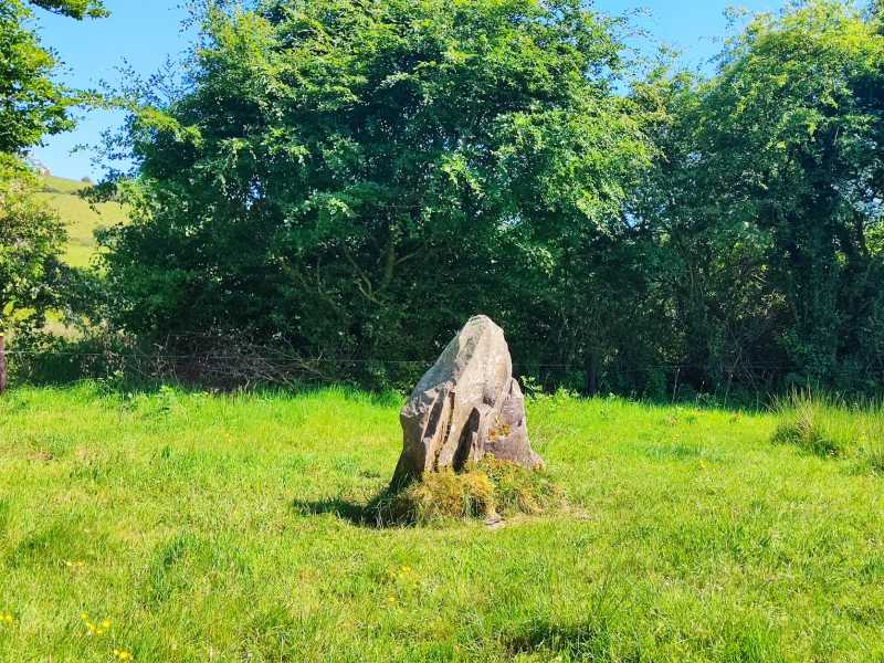
Situated on a knoll on the lower souther slopes of Mauherslieve in a forestry plantation. Two set stones and a large prostrate slab mark the site. The set stones are both aligned approximately NNE-SSW and are so disposed as to suggest that they might represent two close-set lines of walling. The prostrate slab is 1.35m to the S of these and measures 2.6m by 1.5m x 0.5m thick. It could be a displaced roofstone or a fallen septal-stone. The remains can be explained as the last vestiges of a wedge tomb but so scant are they that the true nature of the site must remain uncertain.
Compiled by: Caimin O'Brien.
Date of upload: 22 September 2008
Megalithic tomb in Coonmore is likely a portal dolmen, dating to the Neolithic or early Bronze Age. Its positioning on a knoll suggests ritual or ceremonial significance, typical of megalithic monuments in the region.
The monument record does not grant public access. Check the route and ask the landowner before entering private land.
- What survives
- Recorded monument
Places near here
 Enclosure in CoonmoreEnclosure · 370 yd
 Dermot & Granias Bed (Site of)Megalithic structure · 1445 yd
 Gowlagh Bridgebridge · 1.4 mi
 Anglesey Bridgebridge · 1.5 mi
 MauherslieveMountain / peak · 1.6 mi
 KnocknabanshaMountain / peak · 3.0 mi
 Ballyhourigan WoodsForest · 6.1 mi
 Tower (in Ruins)Bawn · 6.9 mi
 Castle WellerCastle · 6.9 mi
 Sliev Felim WayVisitor information · 8.8 mi
 Killavalla WoodForest · 9.1 mi
 Graveyard in AbingtonGraveyard · 10 mi