What is recorded here
Megalithic tombs in County Down date to the prehistoric period when people buried their dead beneath large stones. The cross shape at Ardtole suggests they built chambers or markers they believed would hold life together after death. That much is record. What is missing is the voice of the person who carried the last stone and the name they gave the dead.
The official Northern Ireland record identifies this as MEGALITHIC TOMB: CROSS OF ARDTOLE. Recorded period: PREHISTORIC. The official map point was placed at the centre of the recorded archaeological site from the source map reference.
Megalithic tomb, dating to the Neolithic or Early Bronze Age. Its significance lies in its association with early ceremonial or burial practices in the Ardtole area, though specific details remain poorly documented.
The monument record does not grant public access. Check the route and ask the landowner before entering private land.
- What survives
- Recorded monument
Places near here
 Ardtole ChurchWalking route · 691 yd
 CHURCH (in ruins) & GRAVEYARD: ARDTOLE CHURCH; ST.NICHOLAS' in ArdtoleCHURCH (in ruins) & GRAVEYARD: ARDTOLE CHURCH; ST.NICHOLAS' · 710 yd
 HOLY WELL: ST. PATRICK'S WELL in Sheepland BegHOLY WELL: ST. PATRICK'S WELL · 1203 yd
 Sheepland Harbour PathWalking route · 1492 yd
 Enclosure/Building in ArdtoleEnclosure/Building · 1563 yd
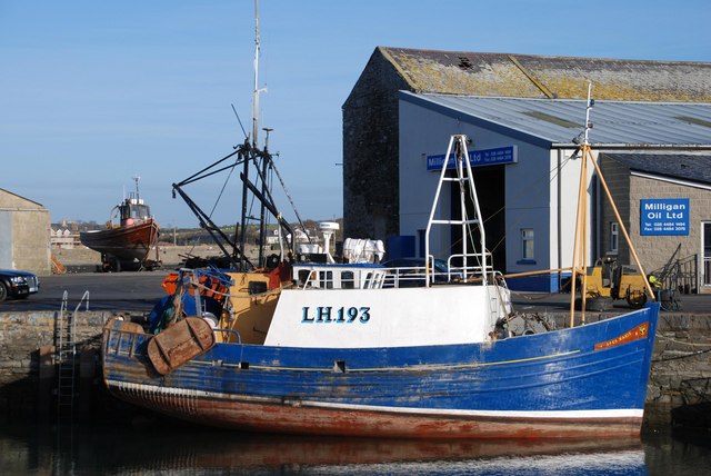 ArdglassVisitor information · 1699 yd
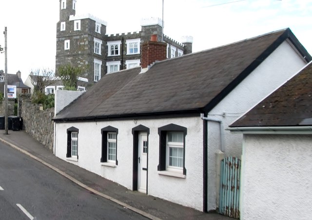 TOWER-HOUSE: KING'S CASTLE in ArdglassTOWER-HOUSE: KING'S CASTLE · 1.1 mi
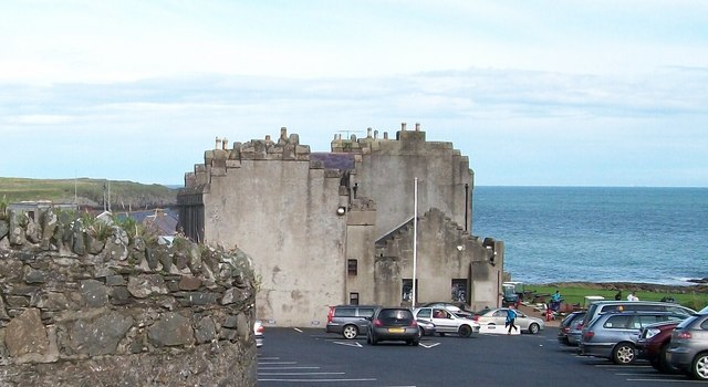 TOWER-HOUSE; MERCHANTS STORES; C18th CASTLE: HORN CASTLE or NEWARK or ARDGLASS CASTLE in ArdglassTOWER-HOUSE; MERCHANTS STORES; C18th CASTLE: HORN CASTLE or NEWARK or ARDGLASS CASTLE · 1.1 mi
 Isabella TowerTower · 1.3 mi
 LignatinnyBay · 1.4 mi
 CHURCH: DUNSFORD in DunsfortCHURCH: DUNSFORD · 1.4 mi
 Curlew PointHeadland · 1.9 mi