
What is recorded here
The official Northern Ireland record identifies this as HOLY WELL: ST. PATRICK'S WELL. Recorded period: UNCERTAIN. The official map point was placed at the centre of the recorded archaeological site from the source map reference.
Linked to St. Patrick, the well is traditionally associated with healing and protection, with pilgrims visiting to seek cures for various ailments. The site reflects the widespread veneration of St. Patrick in early Christian Ireland, often connected to local folklore involving miracles and spiritual renewal.
The monument record does not grant public access. Check the route and ask the landowner before entering private land.
- What survives
- Recorded monument
Places near here
 Sheepland Harbour PathWalking route · 478 yd
 CHURCH (in ruins) & GRAVEYARD: ARDTOLE CHURCH; ST.NICHOLAS' in ArdtoleCHURCH (in ruins) & GRAVEYARD: ARDTOLE CHURCH; ST.NICHOLAS' · 1448 yd
 Ardtole ChurchWalking route · 1528 yd
 LignatinnyBay · 1531 yd
 Enclosure/Building in ArdtoleEnclosure/Building · 1.1 mi
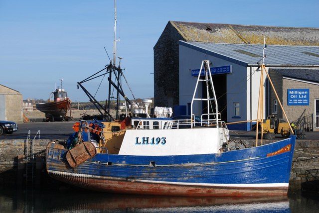 ArdglassVisitor information · 1.3 mi
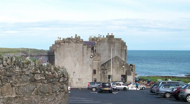 TOWER-HOUSE; MERCHANTS STORES; C18th CASTLE: HORN CASTLE or NEWARK or ARDGLASS CASTLE in ArdglassTOWER-HOUSE; MERCHANTS STORES; C18th CASTLE: HORN CASTLE or NEWARK or ARDGLASS CASTLE · 1.4 mi
 Jordan's CastleCastle · 1.4 mi
 MODERN CHURCH ON EARLIER SITE in ArdglassMODERN CHURCH ON EARLIER SITE · 1.5 mi
 CHURCH: DUNSFORD in DunsfortCHURCH: DUNSFORD · 1.5 mi
 Isabella TowerTower · 1.7 mi
 Guns IslandIslet · 2.0 mi
Other information
Photo: Dean Molyneaux · Creative Commons Attribution-ShareAlike 2.0