What is recorded here
This was listed in the SMR (1986) as a ‘megalithic structure’ and ‘standing stone’ and included in the RMP (1995) as ‘megalithic structure possible’. The reference to the ‘megalithic structure’ is derived from a site report made for the ITA survey in 1945 where it is recorded that ‘At present it [the standing stone] is in the middle of a wheat field and there are difficulties in examining the surroundings but there appears to be the remains of a larger structure perhaps megalithic as other stones are half buried.’ (SMR file). There is no evidence of any structure at the stone in the photo published by O’Toole in 1939 nor does he make any reference to other features present at the site (1939, 105, No. 13). Other than the standing stone there is no visible trace in the surrounding field of any megalithic remains. (O’Toole and Mitchell 1939, 105, No. 13 (photograph), 108, 110; Brindley and Kilfeather 1993, 14, No. 104)
Compiled by: Paul Walsh
Date of upload/revision: 1 April 2019
This remains an important historical record, but the official description says the monument is no longer visible or has been destroyed. The monument record does not grant public access. Check the route and ask the landowner before entering private land.
- What survives
- No visible remains or recorded as destroyed
Places near here
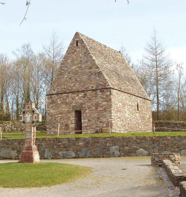 Chapel in Portrushen UpperChapel · 1381 yd
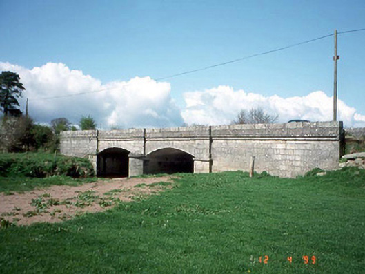 Saulsford Bridgebridge · 1500 yd
 Enclosure in Knocklishen MoreEnclosure · 1673 yd
 Enclosure in Portrushen LowerEnclosure · 1752 yd
 Chapel (in ruins), GraveyardChurch · 1.7 mi
 European BeechEuropean Beech · 1.9 mi
 CastleCastle, unclassified · 2.3 mi
 Site of CastleCastle, unclassified · 2.4 mi
 Sessile OakSessile Oak · 2.5 mi
 Eagle HillMountain / peak · 2.7 mi
 Acaun Church (in ruins), GraveyardChurch · 2.9 mi
 SlievereaghMountain / peak · 5.8 mi