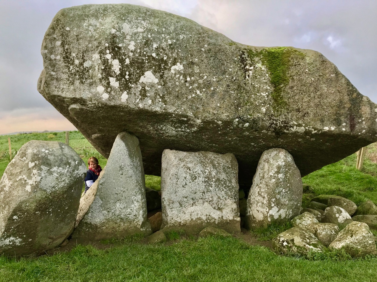
What is recorded here
This was listed in the SMR (1986) as a ‘megalithic structure’ and ‘standing stone’ and included in the RMP (1995) as ‘megalithic structure possible’. The reference to the ‘megalithic structure’ is derived from a site report made for the ITA survey in 1945 where it is recorded that ‘At present it [the standing stone]…
Read the whole record
From the National Monuments Service (Archaeological Survey of Ireland) record CW004-024002
Places near here
Photo credits
- Maker not stated on source page, www.britainexpress.com
- Maker not stated on source page, tr.pinterest.com
- National Inventory of Architectural Heritage
- Maker not stated on source page, commons.wikimedia.org
- Maker not stated on source page, www.pinterest.com
- Maker not stated on source page, uk.pinterest.com
- Kmcnamee, Wikimedia Commons · CC BY-SA 4.0
- Malene Thyssen, Wikimedia Commons · CC BY-SA 3.0
- Smith Groundworks (project publisher); individual photographer not named, smithgroundworksandcivilengineering.ie
 Standing stone in TombeaghStanding stone · 1 yd
Explorer Tom Standing stone in Tombeagh is known as 'The Giant's Lift' because it nearly got famous after someone claimed a giant…
 Holy well in TombeaghHoly well · 356 yd
Explorer Tom Holy well in Tombeagh keeps getting picked on by the wind because it doesn’t have a roof, which is very unfair if you…
 Saulsford BridgeBridge · 1500 yd
Explorer Tom Saulsford Bridge is strutting across the river like it owns the place. Apparently, a local bishop refused to cross it…
 Holy well in Brownbog,drumguinHoly well · 1.1 mi
Explorer Tom Holy well in Brownbog is throwing a party on St Columba's day that nobody showed up to. It’s been quiet since O’Toole…
 Catholic Church of the AssumptionChurch/chapel · 1.2 mi
Explorer Tom The Assumption in Tiknock has a name that sounds like a fancy hotel but it's actually just a church with balconies. The…
 Kilnabritoge or Kilbrackan Church (in ruins), GydChurch · 1.4 mi
Explorer Tom Kilnabritoge or Kilbrackan Church has three courses of wall left, which is enough to start a conversation. It’s got a…
 Graveyard in Knocklishen BegGraveyard · 1.4 mi
Explorer Tom Knocklishen Beg Graveyard has granite crosses and a basin bullaun, so it’s got some serious ancient tech. It’s slightly…
 Graveyard in Tinnaclash (rathvilly By.)Graveyard · 1.7 mi
Explorer Tom Graveyard in Tinnaclash runs right along the Doughlas River, so the water can see all your secrets. It’s a…
 Kiltegan GAAGAA ground · 1.9 mi
 European Beech1.9 mi
Explorer Tom European Beech in County Wicklow wants 'Resting But Trying' carved on its tombstone because that’s exactly how it looks…
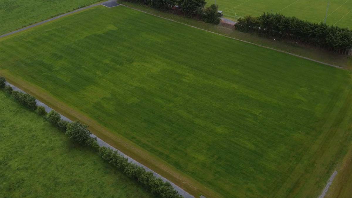 Clonmore GAA pitchGAA ground · 2.3 mi
 Site of CastleArchaeological place · 2.4 mi
Explorer Tom Site of Castle in County Carlow has set a very ambitious New Year's resolution to actually stand up straighter this…
More archaeology and monuments in County Carlow · All of County Carlow

What do you know about this place?Tap to add a comment or ask a question